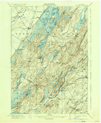
1912 Map of Hammond
USGS Topo · Published 1935About this map
Black Lake and its intricate northern reaches, including Big Island and Lonesome Bay, dominate this early twentieth-century survey of western St. Lawrence County. The landscape is a network of interconnected waterways and small agricultural communities, where the Oswegatchie River winds past Oxbow and Natural Dam. Evidence of the region's early industrial roots is visible at the Old Iron Works near Spragueville, while the Ogdensburg Line railroad provides a critical transportation corridor through Hammond.
Find a feature on this map
82 named features on this map. Tap any name to fly to it.
Don’t see what you’re looking for? This feature index may not catch every label — zoom into the map to look around manually.
Map Details
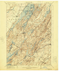
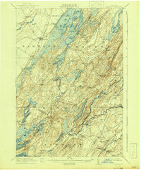
Editions of this 1912 Hammond Map
4 editions found
Other maps of this area

1903 · Alexandria Bay
USGS Topo · 1:62,500

1903 · Theresa
USGS Topo · 1:62,500

1904 · Ogdensburg
USGS Topo · 1:62,500

1905 · Ogdensburg
USGS Topo · 1:62,500

1906 · Brier Hill
USGS Topo · 1:62,500

1911 · Antwerp
USGS Topo · 1:62,500

1912 · Hammond
USGS Topo · 1:62,500

1913 · Lake Bonaparte
USGS Topo · 1:62,500

1915 · Gouverneur
USGS Topo · 1:62,500

1916 · Lake Bonaparte
USGS Topo · 1:62,500