
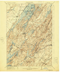
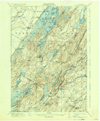
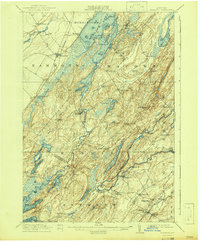
1912 Map of Hammond
USGS Topo · Published 1912About this map
The Oswegatchie River and Black Lake define the drainage and early industry of this Northern New York landscape at the start of the twentieth century. Small rural communities such as Rossie, Oxbow, and Wegatchie are linked by a network of local roads and schools, including the Scotch Settlement School and Laidlaw School. The presence of the Old Iron Works near Somerville points to the region's mineral history, while the Ogdensburg and Hammond R R and the Niagara Falls Line reflect the established rail infrastructure of the era. The map reveals a complex aquatic landscape in the south, where Lake of the Woods, Muskalonge Lake, and Yellow Lake sit amidst a fragmented terrain. This survey provides a precise look at the township boundaries for Morristown, Macomb, and Gouverneur before the significant modernization of the North Country road systems.
Find a feature on this map
65 named features on this map. Tap any name to fly to it.
Don’t see what you’re looking for? This feature index may not catch every label — zoom into the map to look around manually.
Map Details
Editions of this 1912 Hammond Map
4 editions found
Other maps of this area

1903 · Alexandria Bay
USGS Topo · 1:62,500

1903 · Theresa
USGS Topo · 1:62,500

1904 · Ogdensburg
USGS Topo · 1:62,500

1905 · Ogdensburg
USGS Topo · 1:62,500

1906 · Brier Hill
USGS Topo · 1:62,500

1911 · Antwerp
USGS Topo · 1:62,500

1913 · Lake Bonaparte
USGS Topo · 1:62,500

1915 · Gouverneur
USGS Topo · 1:62,500

1916 · Lake Bonaparte
USGS Topo · 1:62,500

1937 · Gouverneur
USGS Topo · 1:62,500