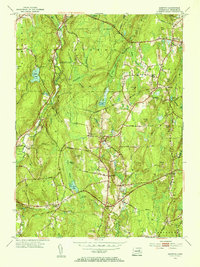
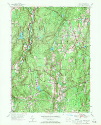
1953 Map of Hampton
USGS Topo · Published 1955About this map
Hampton and its surrounding Windham County landscape are defined by a complex network of glacial ponds, swamps, and ridges during the mid-1950s. The New York New Haven and Hartford railroad cuts a diagonal path across the terrain, serving the village at Hampton Station near Rawson. This infrastructure reflects the town's connection to regional commerce, even as large portions of the land remain preserved within the Natchaug State Forest.
Find a feature on this map
54 named features on this map. Tap any name to fly to it.
Don’t see what you’re looking for? This feature index may not catch every label — zoom into the map to look around manually.
Map Details
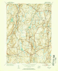
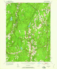
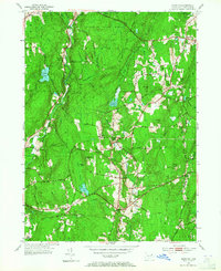
Editions of this 1953 Hampton Map
5 editions found
Other maps of this area

1889 · Putnam
USGS Topo · 1:62,500

1889 · Moosup
USGS Topo · 1:62,500

1892 · Woodstock
USGS Topo · 1:62,500

1892 · Norwich
USGS Topo · 1:62,500

1893 · Putnam
USGS Topo · 1:62,500

1893 · Moosup
USGS Topo · 1:62,500

1919 · Putnam
USGS Topo · 1:62,500

1920 · Moosup
USGS Topo · 1:62,500

1921 · Woodstock
USGS Topo · 1:62,500

1943 · Plainfield
USGS Topo · 1:31,680