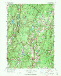
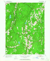
1953 Map of Hampton
USGS Topo · Published 1971About this map
Hampton and its surrounding Windham County landscape are defined by a network of small settlements and river valleys recorded in the mid-20th century. The village centers of Phoenixville and Elliotts serve as focal points amidst a terrain characterized by prominent rises such as Pumpkin Hill and Sharpe Hill. Local education and community life are grounded in landmarks like the Elliotts Sch and the North Cem, while the northern reaches include protected lands within the Natchaug State Forest and the Daniel Lyon Memorial Park. The map captures the hydrological complexity of the region, where the Natchaug River and Mount Hope River converge, supplemented by numerous smaller features like Pine Acres Lake and the Hampton Reservoir. These water bodies and the accompanying Cedar Swamp reflect the natural drainage patterns that shaped early transit and settlement in eastern Connecticut.
Find a feature on this map
56 named features on this map. Tap any name to fly to it.
Don’t see what you’re looking for? This feature index may not catch every label — zoom into the map to look around manually.
Map Details
Editions of this 1953 Hampton Map
5 editions found
Other maps of this area

1889 · Putnam
USGS Topo · 1:62,500

1889 · Moosup
USGS Topo · 1:62,500

1892 · Woodstock
USGS Topo · 1:62,500

1892 · Norwich
USGS Topo · 1:62,500

1893 · Putnam
USGS Topo · 1:62,500

1893 · Moosup
USGS Topo · 1:62,500

1919 · Putnam
USGS Topo · 1:62,500

1920 · Moosup
USGS Topo · 1:62,500

1921 · Woodstock
USGS Topo · 1:62,500

1943 · Plainfield
USGS Topo · 1:31,680