Loading...
Loading map...2024 Map of Hanapepe
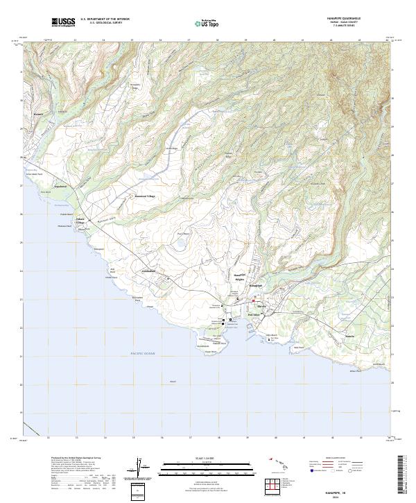
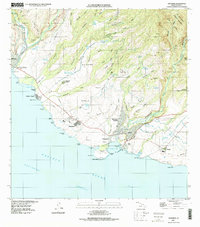
USGS Topo · Published 2024About this map
Hanapepē Bay serves as the focal point for this coastal Kauai landscape, where the Hanapepē River meets the Pacific Ocean at the industrial and maritime hub of Port Allen. The map details a complex network of agriculture and water management, evidenced by numerous reservoirs such as A'aka Reservoir and Kalaeloa Reservoir that support the land between Waimea Canyon and the Wahiawa Stream.
Find a feature on this map
111 named features on this map. Tap any name to fly to it.
Don’t see what you’re looking for? This feature index may not catch every label — zoom into the map to look around manually.
Map Details
Date Portrayed2024
Date Published2024
PublisherU.S. Geological Survey
Map TypeTopographic
Scale1:24000
Physical Dimensions24 x 29 inches
Editions of this 2024 Hanapepe Map
This is the sole edition of this map. No revisions or reprints were ever made.
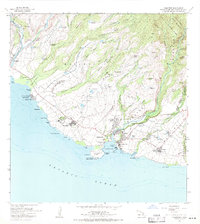
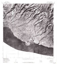
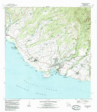
Historical Maps of Kaawanui Village Through Time
5 maps found
Featured Locations
Source Details
SourceU.S. Geological Survey
CopyrightPublic Domain