Loading...
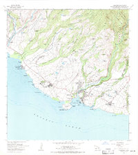
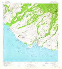
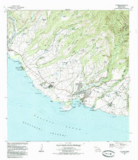
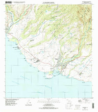
Loading map...1963 Map of Hanapepe
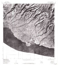
USGS Topo · Published 1971About this map
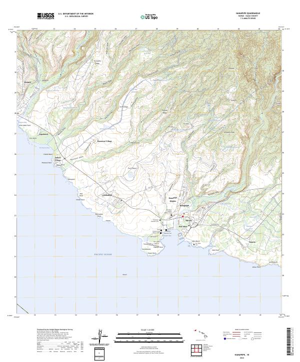
Agricultural water systems dominate the landscape of southern Kauai in this early 1960s field-checked study. A complex network of irrigation tunnels, ditches, and numerous upland reservoirs like Poopueo Reservoir and Waikoloi Reservoir support the plantation economy centered around Kaumakani. The presence of the Sugar Mill near Koki Point and the coastal operations at Makaweli Landing illustrate the industrial scale of sugar production that defined the region's mid-century development.
Find a feature on this map
85 named features on this map. Tap any name to fly to it.
Don’t see what you’re looking for? This feature index may not catch every label — zoom into the map to look around manually.
Map Details
Date Portrayed1963
Date Published1971
PublisherU.S. Geological Survey
Map TypeTopographic
Scale1:24,000
Physical Dimensions24 x 27 inches
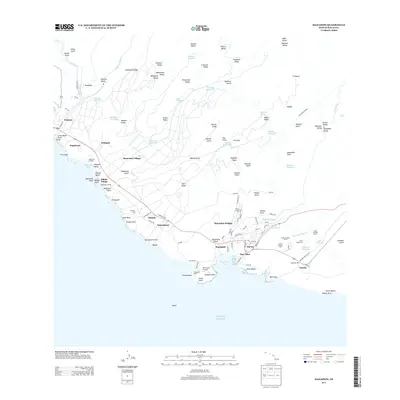
Editions of this 1963 Hanapepe Map
2 editions found
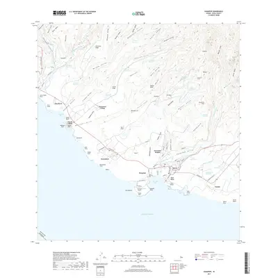
Historical Maps of Kapalawai Through Time
7 maps found
Featured Locations
Source Details
SourceU.S. Geological Survey
CopyrightPublic Domain