
1901 Map of Hancock
USGS Topo · Published 1901About this map
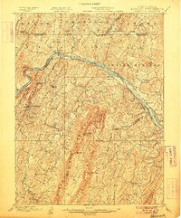
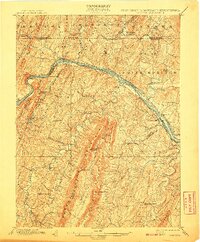
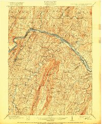
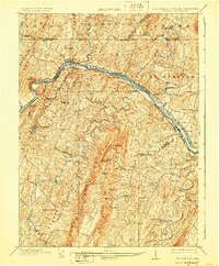
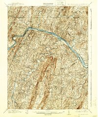
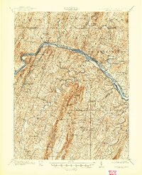
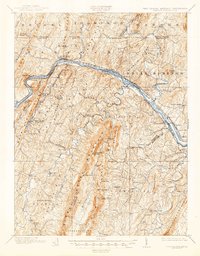
The Potomac River carves a winding path through this tri-state region, serving as the definitive border between Maryland and West Virginia. This 1899 survey illustrates a landscape where early industrial infrastructure and historical defensive sites meet. The presence of Fort Frederick on the Maryland side stands as a landmark of frontier history, while the Chesapeake and Ohio Canal and the Baltimore and Ohio R. R. run parallel to the river, marking the critical transportation corridors of the era. On the West Virginia side, the town of Berkeley Springs and the village of Sir Johns Run appear within the narrow valleys. The terrain is dominated by a series of parallel ridges including Sleepy Creek Mountain and Third Hill Mountain, which dictated the placement of early settlements like Hedgesville and small agricultural hubs such as Stotlers Crossroads. Local industry is evidenced by the Cement Factory near Hancock and several water-powered sites including Yeakle Mill.
Find a feature on this map
81 named features on this map. Tap any name to fly to it.
Don’t see what you’re looking for? This feature index may not catch every label — zoom into the map to look around manually.
Map Details
Editions of this 1901 Hancock Map
8 editions found
Other maps of this area

1884 · Harpers Ferry
USGS Topo · 1:125,000

1891 · Harpers Ferry
USGS Topo · 1:125,000

1893 · Harpers Ferry
USGS Topo · 1:125,000

1894 · Winchester
USGS Topo · 1:125,000

1898 · Paw Paw
USGS Topo · 1:62,500

1899 · Hancock
USGS Topo · 1:62,500

1900 · Pawpaw
USGS Topo · 1:62,500

1900 · Mercersburg
USGS Topo · 1:62,500

1902 · Mercersburg
USGS Topo · 1:62,500

1910 · Paw Paw
USGS Topo · 1:62,500