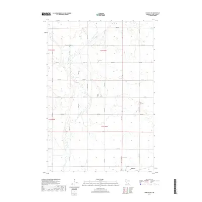
2019 Map of Hancock SW
USGS Topo · Published 2019About this map
Holloway anchors the southeastern corner of this Swift County survey, showing the town's position along the rail corridor. The surrounding prairie landscape is defined by the winding course of the Pomme de Terre River, which cuts through the flat agricultural terrain of the Glacial Lake Agassiz region. The map reveals a dense network of township roads, including Co Rd 56 and Co Rd 38, which organize the rural sections.
Find a feature on this map
41 named features on this map. Tap any name to fly to it.
Don’t see what you’re looking for? This feature index may not catch every label — zoom into the map to look around manually.
Map Details
Editions of this 2019 Hancock SW Map
This is the sole edition of this map. No revisions or reprints were ever made.
Other maps of this area

1953 · Milbank
USGS Topo · 1:250,000

1953 · Saint Cloud
USGS Topo · 1:250,000

1957 · Saint Cloud
USGS Topo · 1:250,000

1958 · Milbank
USGS Topo · 1:250,000

1958 · Saint Cloud
USGS Topo · 1:250,000

1958 · Big Bend City
USGS Topo · 1:24,000

1958 · Milan NW
USGS Topo · 1:24,000

1958 · Appleton
USGS Topo · 1:24,000

1968 · Dry Wood Lake
USGS Topo · 1:24,000

1968 · Lake Oliver
USGS Topo · 1:24,000