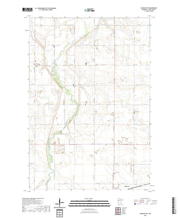
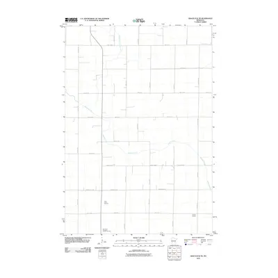
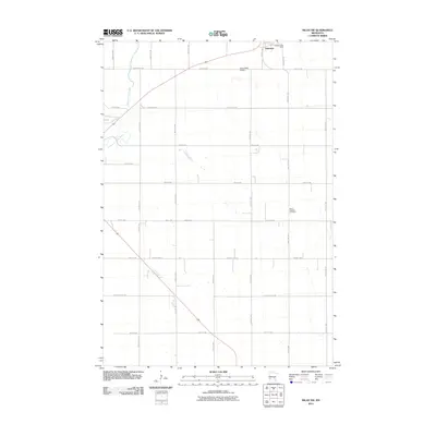
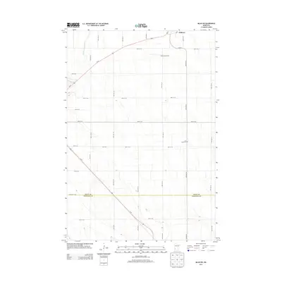
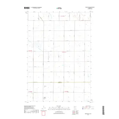
2022 Map of Hancock SW
USGS Topo · Published 2022About this map
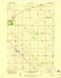
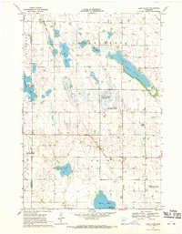
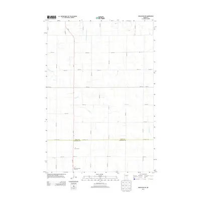
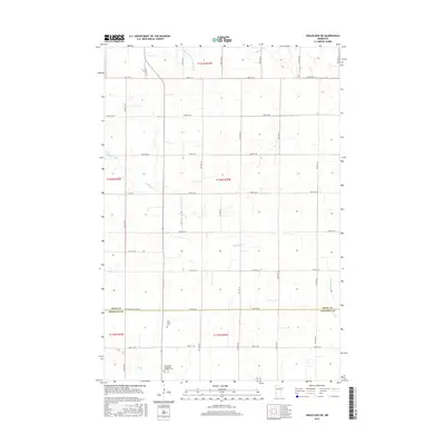
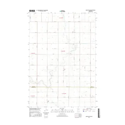
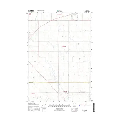
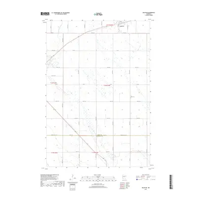
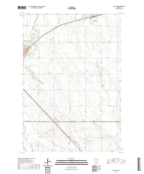
The Pomme de Terre River snakes through this agricultural landscape in Swift County, defining the drainage patterns of the western Minnesota prairie. This rural expanse is characterized by a high density of small family and community burial grounds, illustrating the early settlement patterns and religious heritage of the township. Genealogists may find interest in the proximity of Saint Johns Cem, Trinity Cem, and the Evangelical Cem, which serve as quiet markers of the area's ancestral history. At the southern edge of the survey, the village of Holloway stands as the primary residential hub, connected by a network of sectional roads like Co Rd 56 and Co Rd 38. The presence of the Pomme de Terre River Tri further highlights the hydrological complexity of this tributary system as it flows south toward larger river basins.
Find a feature on this map
26 named features on this map. Tap any name to fly to it.
Don’t see what you’re looking for? This feature index may not catch every label — zoom into the map to look around manually.
Map Details
Editions of this 2022 Hancock SW Map
This is the sole edition of this map. No revisions or reprints were ever made.
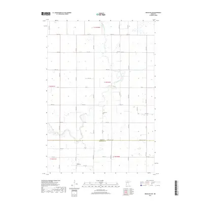
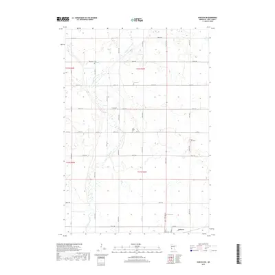
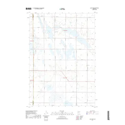
Historical Maps of Holloway Through Time
48 maps found
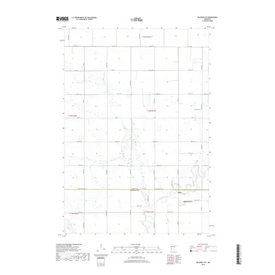
1958 Big Bend City
Swift County, MN
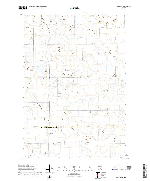
1958 Gracelock NE
Swift County, MN
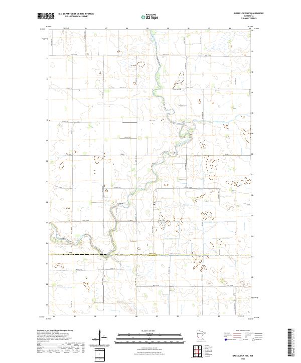
1958 Gracelock NW
Swift County, MN
1958 Milan NW
Swift County, MN
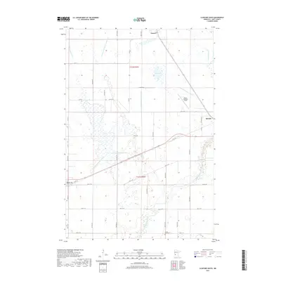
1968 Clontarf South
Swift County, MN
1968 De Graff SE
Swift County, MN
1968 Hancock SW
Swift County, MN
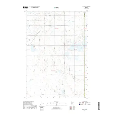
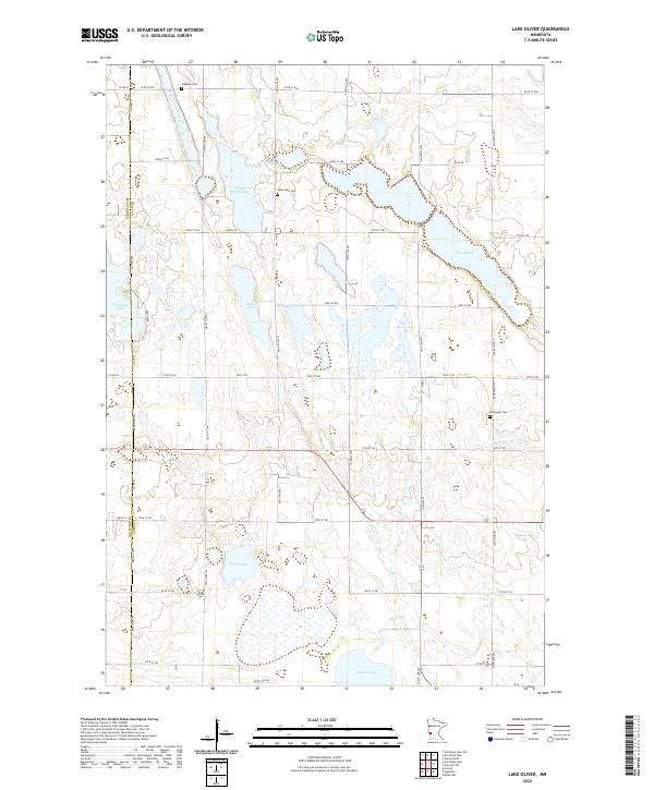
1968 Lake Oliver
Swift County, MN
2010 Big Bend City
Swift County, MN
2010 Clontarf South
Swift County, MN
2010 De Graff SE
Swift County, MN
2010 Gracelock NE
Swift County, MN
2010 Gracelock NW
Swift County, MN
2010 Hancock SW
Swift County, MN
2010 Lake Oliver
Swift County, MN
2010 Milan NW
Swift County, MN
2013 Big Bend City
Swift County, MN
2013 Clontarf South
Swift County, MN
2013 De Graff SE
Swift County, MN
2013 Gracelock NE
Swift County, MN
2013 Gracelock NW
Swift County, MN
2013 Hancock SW
Swift County, MN
2013 Lake Oliver
Swift County, MN
2013 Milan NW
Swift County, MN
2016 Big Bend City
Swift County, MN
2016 Clontarf South
Swift County, MN
2016 De Graff SE
Swift County, MN
2016 Gracelock NE
Swift County, MN
2016 Gracelock NW
Swift County, MN
2016 Hancock SW
Swift County, MN
2016 Lake Oliver
Swift County, MN
2016 Milan NW
Swift County, MN
2019 Big Bend City
Swift County, MN
2019 Clontarf South
Swift County, MN
2019 De Graff SE
Swift County, MN
2019 Gracelock NE
Swift County, MN
2019 Gracelock NW
Swift County, MN
2019 Hancock SW
Swift County, MN
2019 Lake Oliver
Swift County, MN
2019 Milan NW
Swift County, MN
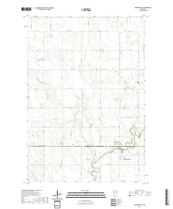
2022 Big Bend City
Swift County, MN
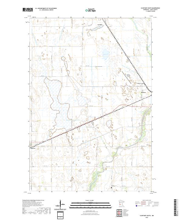
2022 Clontarf South
Swift County, MN
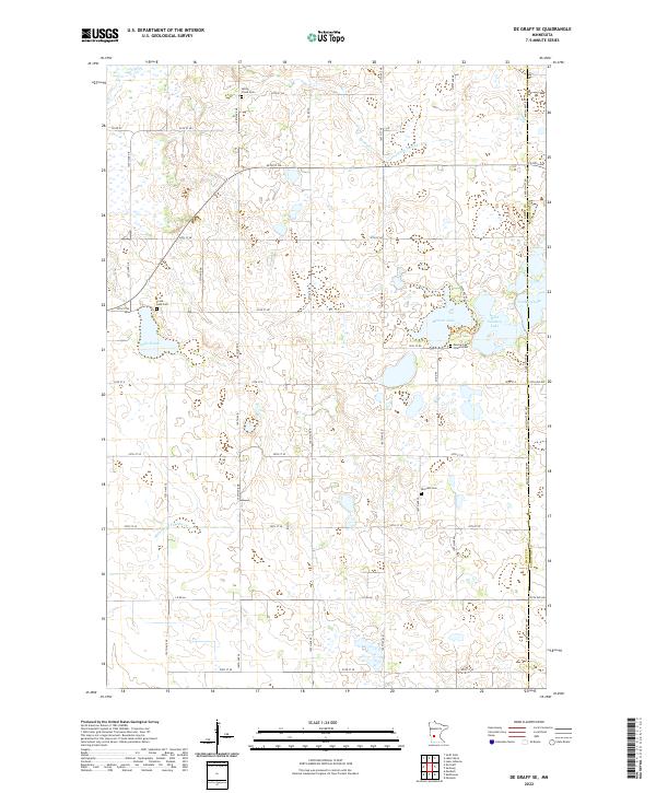
2022 De Graff SE
Swift County, MN
2022 Gracelock NE
Swift County, MN
2022 Gracelock NW
Swift County, MN
2022 Hancock SW
Swift County, MN
2022 Lake Oliver
Swift County, MN
2022 Milan NW
Swift County, MN