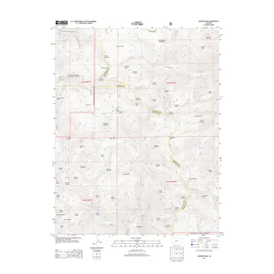
2013 Map of Handies Peak
USGS Topo · Published 2013About this map
Eureka sits at the southern edge of this San Juan Mountains survey, a location defined by the confluence of the Animas River and several of its forks. This high-altitude landscape is crisscrossed by a dense network of county roads and trails that speak to the region's intense mining history, including Co RD-2, Co RD-24, and the road to the Rose Cabin site. The terrain is characterized by steep glacial basins and prominent summits such as Handies Peak and Engineer Mountain. Key mountain passes like Engineer Pass, Cinnamon Pass, and Denver Pass provide historical routes between the drainage basins of the W Fork Animas River and Henson Cr. Notable alpine water bodies such as Lake Emma, Parson Lake, and Lake Como are scattered throughout the high basins, while deep drainages like California Gulch and Poughkeepsie Gulch reflect the era's heavy geological prospecting.
Find a feature on this map
93 named features on this map. Tap any name to fly to it.
Don’t see what you’re looking for? This feature index may not catch every label — zoom into the map to look around manually.
Map Details
Editions of this 2013 Handies Peak Map
This is the sole edition of this map. No revisions or reprints were ever made.
Other maps of this area

1897 · Silverton
USGS Topo · 1:62,500

1901 · Silverton
USGS Topo · 1:62,500

1902 · Silverton
USGS Topo · 1:62,500

1902 · Ouray
USGS Topo · 1:62,500

1903 · Lake City
USGS Topo · 1:62,500

1904 · Ouray
USGS Topo · 1:62,500

1905 · Lake City
USGS Topo · 1:62,500

1905 · San Cristobal
USGS Topo · 1:125,000

1907 · San Cristobal
USGS Topo · 1:125,000

1908 · Uncompahgre
USGS Topo · 1:125,000