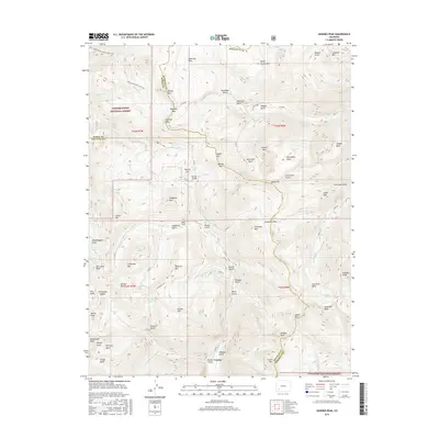
2016 Map of Handies Peak
USGS Topo · Published 2016About this map
Eureka sits at the southern edge of this high-altitude landscape, where the Animas River and its multiple forks converge. The area is defined by its deep mining and transit history, evidenced by the Bagley Tunnel and the network of mountain crossings like Engineer Pass and Cinnamon Pass. These high-country routes connect various basins, including Hurricane Basin and American Basin, which are surrounded by towering summits such as Cinnamon Mtn and Handies Peak. The northern reaches fall within the Uncompahgre National Forest, where the Bear Creek National Recreation Trail follows the steep drainage of Bear Cr. Throughout the terrain, numerous namesake features like Denver Hill, Denver Lake, and Denver Bridge mark the legacy of early exploration and infrastructure in San Juan and Hinsdale Counties. The abundance of named gulches and high alpine lakes, including Lake Como and Lake Emma, illustrates a complex drainage system essential to the regional mining economy.
Find a feature on this map
97 named features on this map. Tap any name to fly to it.
Don’t see what you’re looking for? This feature index may not catch every label — zoom into the map to look around manually.
Map Details
Editions of this 2016 Handies Peak Map
This is the sole edition of this map. No revisions or reprints were ever made.
Other maps of this area

1897 · Silverton
USGS Topo · 1:62,500

1901 · Silverton
USGS Topo · 1:62,500

1902 · Silverton
USGS Topo · 1:62,500

1902 · Ouray
USGS Topo · 1:62,500

1903 · Lake City
USGS Topo · 1:62,500

1904 · Ouray
USGS Topo · 1:62,500

1905 · Lake City
USGS Topo · 1:62,500

1905 · San Cristobal
USGS Topo · 1:125,000

1907 · San Cristobal
USGS Topo · 1:125,000

1908 · Uncompahgre
USGS Topo · 1:125,000