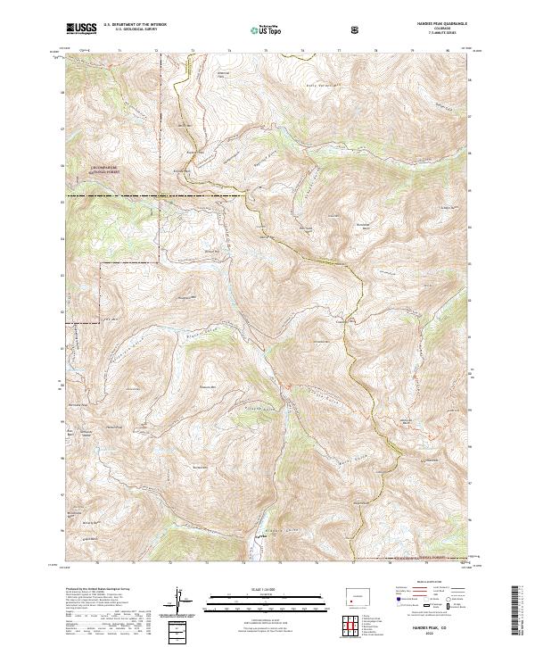
2022 Map of Handies Peak
USGS Topo · Published 2022About this map
The high mountain settlement of Eureka sits at the confluence of the Animas River and Eureka Gulch, serving as a central point for the network of alpine passes and gulches that defined this mineral-rich region. Straddling the boundaries of San Juan, Ouray, and Hinsdale counties, the landscape is marked by historic transit routes like Engineer Pass and Cinnamon Pass, which connect the drainage basins of Henson Cr and the Lake Fork. The presence of high-altitude water bodies such as Lake Emma and Lake Como, alongside features like Placer Gulch and California Gulch, indicates a terrain deeply shaped by the search for gold and silver. This modern survey captures the enduring network of county roads and trails, including the Bear Creek National Recreation Trl, that now facilitate recreation within the Uncompahgre National Forest.
Find a feature on this map
107 named features on this map. Tap any name to fly to it.
Don’t see what you’re looking for? This feature index may not catch every label — zoom into the map to look around manually.
Map Details
Editions of this 2022 Handies Peak Map
This is the sole edition of this map. No revisions or reprints were ever made.
Other maps of this area

1897 · Silverton
USGS Topo · 1:62,500

1901 · Silverton
USGS Topo · 1:62,500

1902 · Silverton
USGS Topo · 1:62,500

1902 · Ouray
USGS Topo · 1:62,500

1903 · Lake City
USGS Topo · 1:62,500

1904 · Ouray
USGS Topo · 1:62,500

1905 · Lake City
USGS Topo · 1:62,500

1905 · San Cristobal
USGS Topo · 1:125,000

1907 · San Cristobal
USGS Topo · 1:125,000

1908 · Uncompahgre
USGS Topo · 1:125,000