1954 Map of Handshoe
USGS Topo · Published 1977About this map
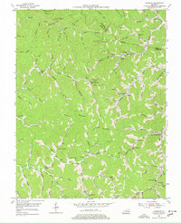
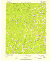
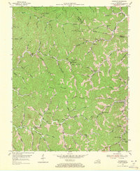
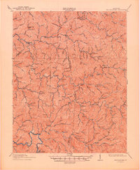
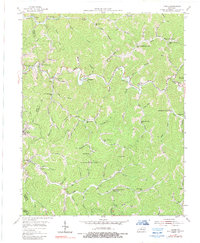
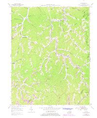
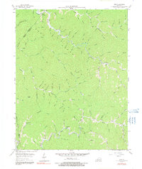
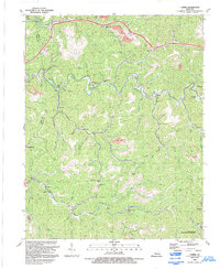
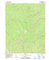
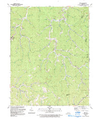
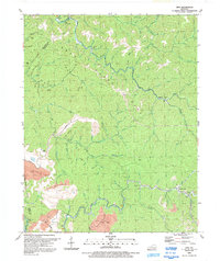
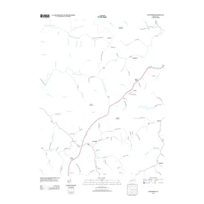
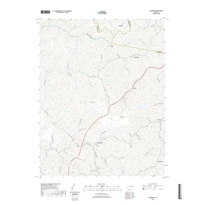
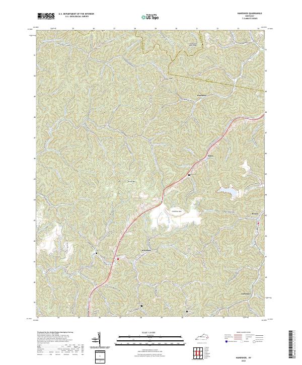
Yellow Mountain and Chestnut Mountain dominate this central Knott County landscape, where the headwaters of the Middle Fork Quicksand Creek and Balls Fork carved a labyrinth of steep hollows. In the mid-1950s, the region was defined by a remarkable density of small mountain schools and coal-related oil and gas exploration. Remote settlements like Handshoe, Soft Shell, and Mousie are anchored by landmarks such as the Saltlick Ch and the Signal Knob Lookout Tower. The map reveals the intricate network of local branch names, from Shanty Hollow to Turtle Fork, which often hosted the namesake community schools that served these dispersed valley neighborhoods. This survey, compiled from coal company maps and aerial photography, preserves the exact locations of many local institutions, including the Mouth of Wiley Sch and Upper Jones Fork Sch, reflecting the deep-rooted social geography of the eastern Kentucky coalfields before modern consolidation.
Find a feature on this map
89 named features on this map. Tap any name to fly to it.
Don’t see what you’re looking for? This feature index may not catch every label — zoom into the map to look around manually.
Map Details
Editions of this 1954 Handshoe Map
Historical Maps of Mousie Through Time
29 maps found
1914 Troublesome
Knott County, KY
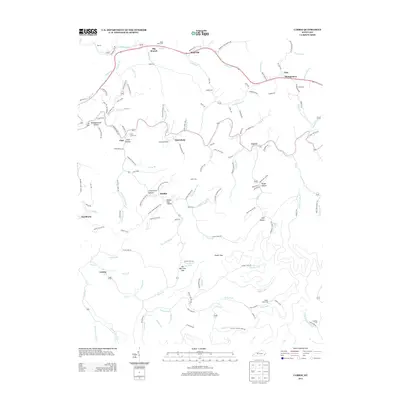
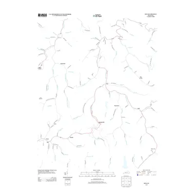
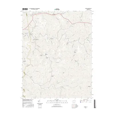
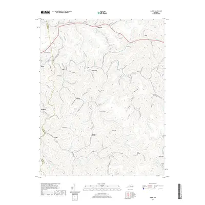
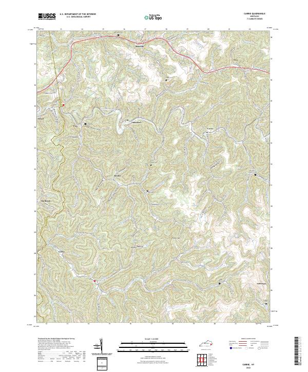
1954 Carrie
Knott County, KY
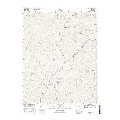
1954 Handshoe
Knott County, KY
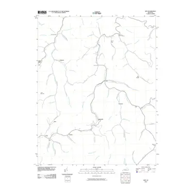
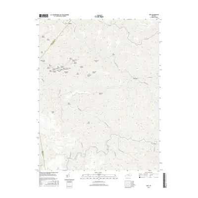
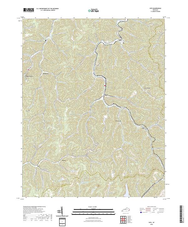
1954 Kite
Knott County, KY
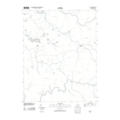
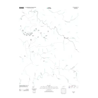
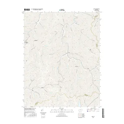
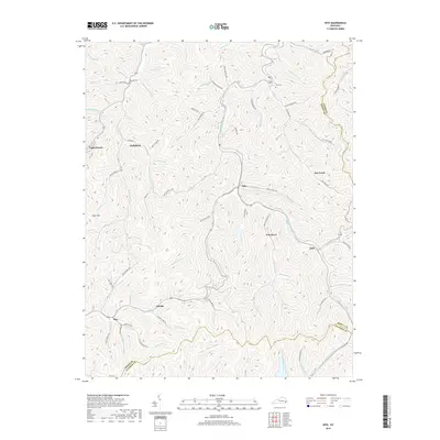
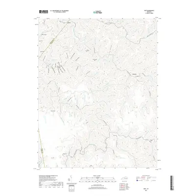
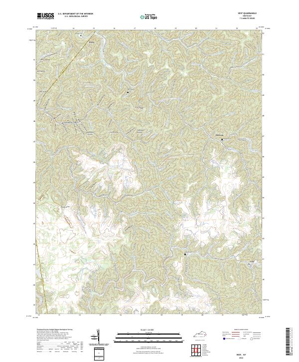
1954 Vest
Knott County, KY
1992 Carrie
Knott County, KY
1992 Handshoe
Knott County, KY
1992 Kite
Knott County, KY
1992 Vest
Knott County, KY
2010 Carrie
Knott County, KY
2010 Handshoe
Knott County, KY
2010 Kite
Knott County, KY
2010 Vest
Knott County, KY
2013 Carrie
Knott County, KY
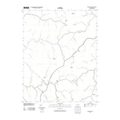
2013 Handshoe
Knott County, KY
2013 Kite
Knott County, KY
2013 Vest
Knott County, KY
2016 Carrie
Knott County, KY
2016 Handshoe
Knott County, KY
2016 Kite
Knott County, KY
2016 Vest
Knott County, KY
2019 Carrie
Knott County, KY
2019 Handshoe
Knott County, KY
2019 Kite
Knott County, KY
2019 Vest
Knott County, KY
2022 Carrie
Knott County, KY
2022 Handshoe
Knott County, KY
2022 Kite
Knott County, KY
2022 Vest
Knott County, KY