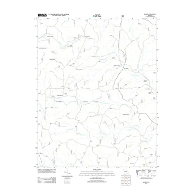
2012 Map of Handy
USGS Topo · Published 2012About this map
Handy is situated amidst a complex network of Ozark hollows and spring-fed waterways, reflecting a landscape where geography dictates the path of every road and settlement. The drainage patterns of Big Barren Creek, Cave Fork, and Running Water Creek create a deeply dissected terrain, evidenced by numerous named features such as Stillhouse Hollow, Deer Pond Hollow, and Bearpen Hollow. These names offer a window into the traditional land use and natural landmarks of the region, from the seasonal flow of Fools Catch Creek to the reliable outputs of Spout Spring and Hodo Spring.
Find a feature on this map
53 named features on this map. Tap any name to fly to it.
Don’t see what you’re looking for? This feature index may not catch every label — zoom into the map to look around manually.
Map Details
Editions of this 2012 Handy Map
This is the sole edition of this map. No revisions or reprints were ever made.
Other maps of this area

1939 · Doniphan
USGS Topo · 1:62,500

1941 · Gatewood
USGS Topo · 1:62,500

1944 · Van Buren
USGS Topo · 1:62,500

1944 · Grandin
USGS Topo · 1:62,500

1945 · Doniphan
USGS Topo · 1:62,500

1945 · Gatewood
USGS Topo · 1:62,500

1946 · Grandin
USGS Topo · 1:62,500

1946 · Van Buren
USGS Topo · 1:62,500

1957 · Poplar Bluff
USGS Topo · 1:250,000

1959 · Poplar Bluff
USGS Topo · 1:250,000