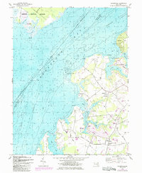
1948 Map of Hanesville
USGS Topo · Published 1985About this map
The eastern shore of the Chesapeake Bay reveals a landscape defined by deep tidal inlets and agricultural peninsulas in Kent County. Centered on the community of Hanesville, the region is partitioned into distinctive land masses like Stillpond Neck and Fairlee Neck. These necks are carved by water bodies such as Still Pond Creek and Worton Creek, which served as vital transport arteries for the local economy. Evidence of maritime commerce is found at Green Point Wharf and Buck Neck Landing, while the presence of St Georges Church and St James Church anchors the rural settlements of Newtown and Melitota.
Find a feature on this map
44 named features on this map. Tap any name to fly to it.
Don’t see what you’re looking for? This feature index may not catch every label — zoom into the map to look around manually.
Map Details
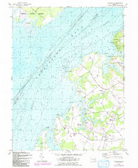
Editions of this 1948 Hanesville Map
2 editions found
Other maps of this area

1893 · North Point
USGS Topo · 1:62,500

1893 · Gunpowder
USGS Topo · 1:62,500

1898 · Tolchester
USGS Topo · 1:125,000

1900 · Betterton
USGS Topo · 1:62,500

1901 · Chestertown
USGS Topo · 1:62,500

1901 · Gunpowder
USGS Topo · 1:62,500

1903 · Tolchester
USGS Topo · 1:125,000

1904 · North Point
USGS Topo · 1:62,500

1908 · Tolchester
USGS Topo · 1:125,000

1920 · Chestertown
USGS Topo · 1:62,500
Featured Places
- Buck Neck Landing, MD
- Worton Heights, MD
- Great Oak Manor, MD
- Great Oak Landing, MD
- Chesapeake Landing, MD