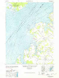
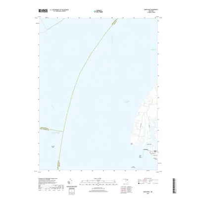
1948 Map of Hanesville
USGS Topo · Published 1991About this map
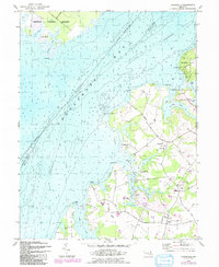
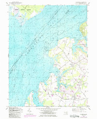
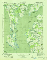
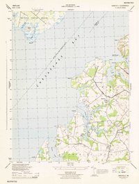
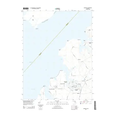
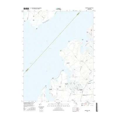
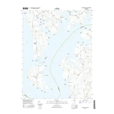
The Chesapeake Bay dominates this mid-century survey, defining the irregular coastline of Kent County where agricultural land meets the water at numerous points and necks. Inland, the rural character of the region is centered on the small settlements of Hanesville, Newtown, and Melitota. The landscape is dotted with several houses of worship, including St Georges Church, St James Church, and Mt Pisgah Church, which serve as primary landmarks for local genealogy and settlement history.
Find a feature on this map
40 named features on this map. Tap any name to fly to it.
Don’t see what you’re looking for? This feature index may not catch every label — zoom into the map to look around manually.
Map Details
Editions of this 1948 Hanesville Map
2 editions found
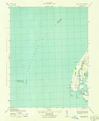
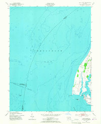
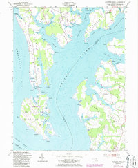
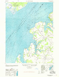
Historical Maps of Buck Neck Landing Through Time
23 maps found
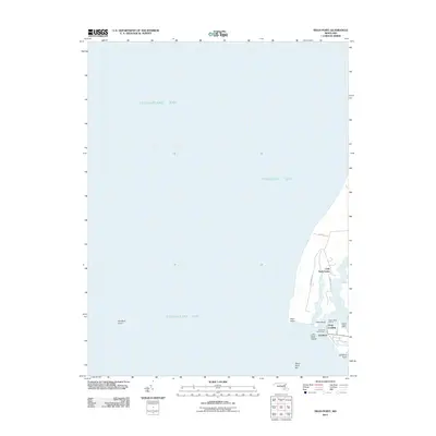
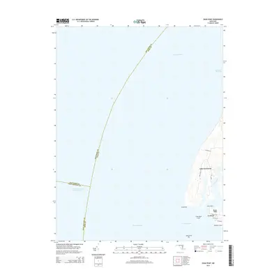
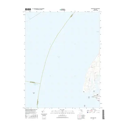
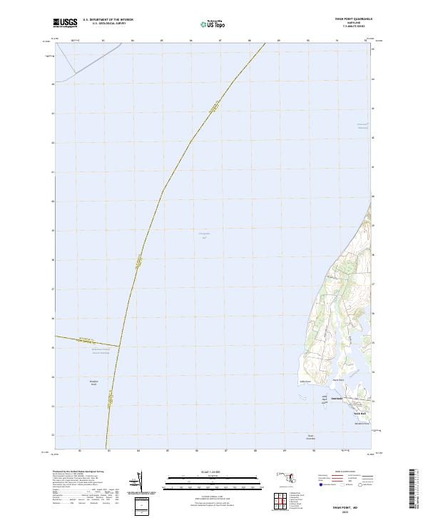
1942 Swan Point
Kent County, MD
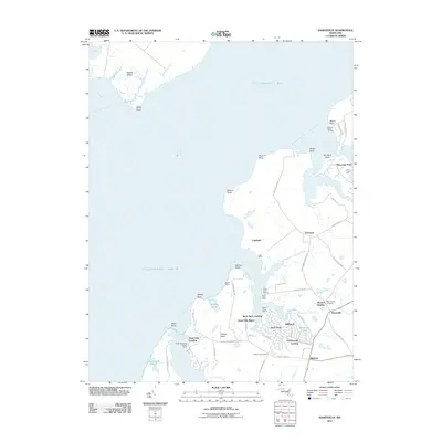
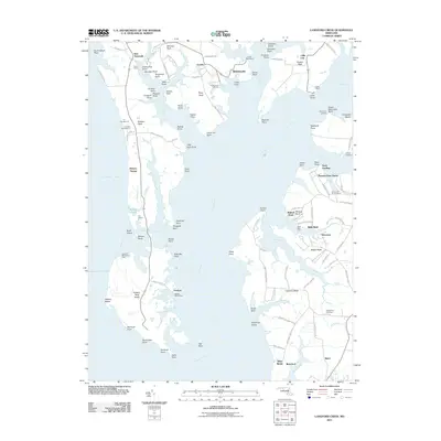
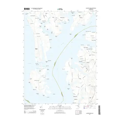
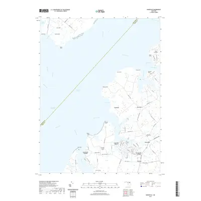
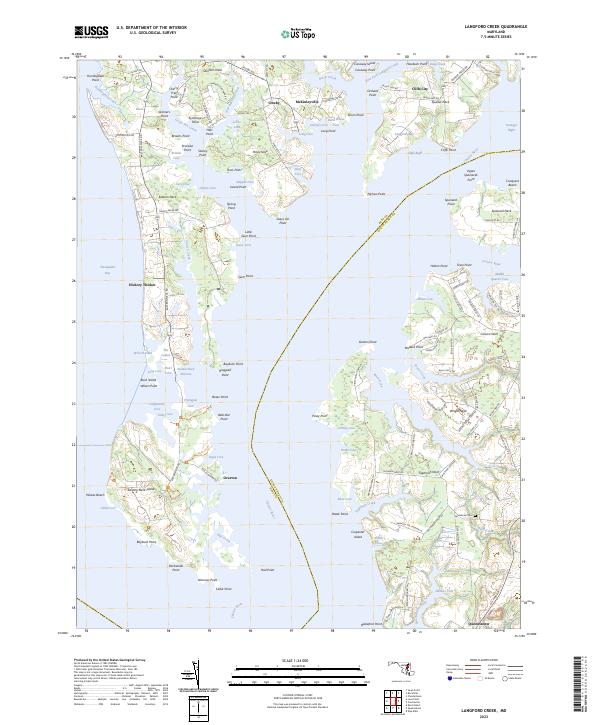
1943 Langford Creek
Kent County, MD
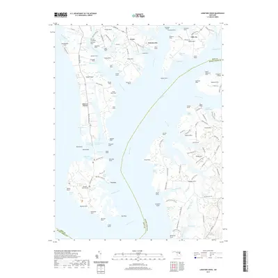
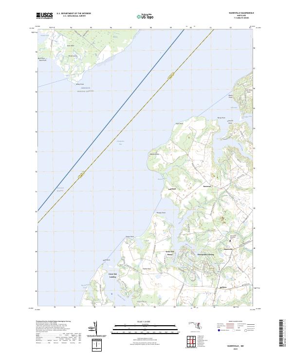
1944 Hanesville
Kent County, MD
1948 Hanesville
Kent County, MD
1953 Swan Point
Kent County, MD
1954 Langford Creek
Kent County, MD
1969 Hanesville
Kent County, MD
1977 Hanesville
Kent County, MD
2011 Hanesville
Kent County, MD
2011 Langford Creek
Kent County, MD
2011 Swan Point
Kent County, MD
2014 Hanesville
Kent County, MD
2014 Langford Creek
Kent County, MD
2014 Swan Point
Kent County, MD
2016 Hanesville
Kent County, MD
2016 Langford Creek
Kent County, MD
2016 Swan Point
Kent County, MD
2019 Hanesville
Kent County, MD
2019 Langford Creek
Kent County, MD
2019 Swan Point
Kent County, MD
2023 Hanesville
Kent County, MD
2023 Langford Creek
Kent County, MD
2023 Swan Point
Kent County, MD
Featured Locations
- Chesapeake Landing, MD
- Great Oak Landing, MD
- Great Oak Manor, MD
- Worton Heights, MD
- Buck Neck Landing, MD