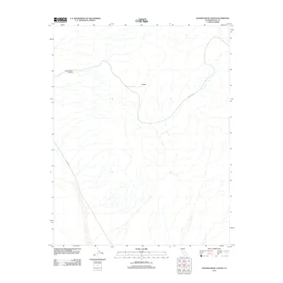
2012 Map of Hanging Rock Canyon
USGS Topo · Published 2012About this map
Hanging Rock Canyon carves through the Inyo County landscape, a prominent geological feature in this arid stretch of California. The 2012 topography is defined by significant elevation changes and the presence of a notable Crater situated near the center of the quadrangle. This area serves as a transit corridor between mountainous terrain and desert basins, marked by the intersection of isolated desert routes. Remote access to this region is facilitated by Death Valley Rd and S Eureka Rd, which provide the primary terrestrial links through the high-desert environment. The map captures the natural drainage patterns and landforms as they existed before subsequent environmental shifts or road maintenance changed the surface details.
Find a feature on this map
4 named features on this map. Tap any name to fly to it.
Don’t see what you’re looking for? This feature index may not catch every label — zoom into the map to look around manually.
Map Details
Editions of this 2012 Hanging Rock Canyon Map
This is the sole edition of this map. No revisions or reprints were ever made.
Other maps of this area

1908 · Lida
USGS Topo · 1:250,000

1913 · Lida
USGS Topo · 1:250,000

1954 · Goldfield
USGS Topo · 1:250,000

1955 · Goldfield
USGS Topo · 1:250,000

1957 · Magruder Mtn
USGS Topo · 1:62,500

1958 · Goldfield
USGS Topo · 1:250,000

1958 · Last Chance Range
USGS Topo · 1:62,500

1958 · Soldier Pass
USGS Topo · 1:62,500
1958 · Waucoba Spring
USGS Topo · 1:62,500

1962 · Goldfield
USGS Topo · 1:250,000