
1923 Map of Hanging Rock
USGS Topo · Published 1923About this map
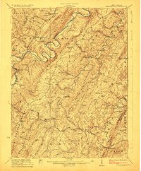
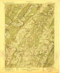
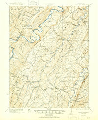
Hampshire County rural life and valley commerce define this 1923 landscape, where the Northwestern Turnpike serves as a primary east-west artery through Augusta and Pleasantdale. The terrain is characterized by long, parallel ridges like South Branch Mountain and Sideling Hill, which force settlement and travel into the narrow valleys carved by the South Branch Potomac River and the Little Cacapon River.
Find a feature on this map
121 named features on this map. Tap any name to fly to it.
Don’t see what you’re looking for? This feature index may not catch every label — zoom into the map to look around manually.
Map Details
Editions of this 1923 Hanging Rock Map
4 editions found
Other maps of this area

1891 · Romney
USGS Topo · 1:125,000

1894 · Winchester
USGS Topo · 1:125,000

1898 · Frostburg
USGS Topo · 1:62,500

1898 · Paw Paw
USGS Topo · 1:62,500

1899 · Flintstone
USGS Topo · 1:62,500

1900 · Pawpaw
USGS Topo · 1:62,500

1900 · Flintstone
USGS Topo · 1:62,500

1901 · Frostburg
USGS Topo · 1:62,500

1908 · Frostburg
USGS Topo · 1:62,500

1910 · Paw Paw
USGS Topo · 1:62,500