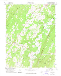
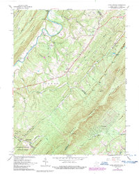
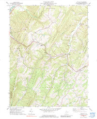
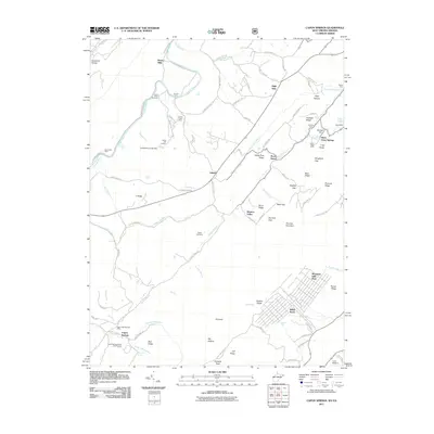
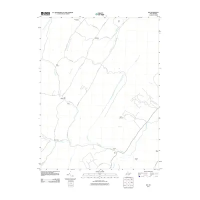
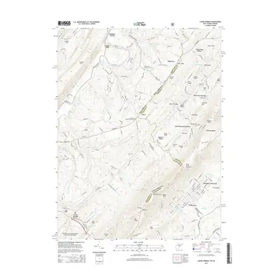
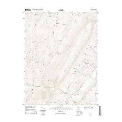
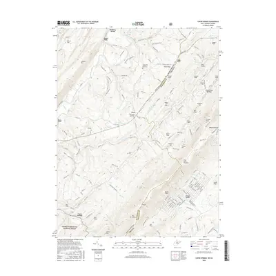
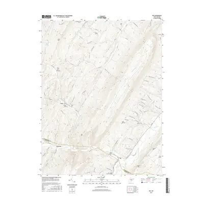
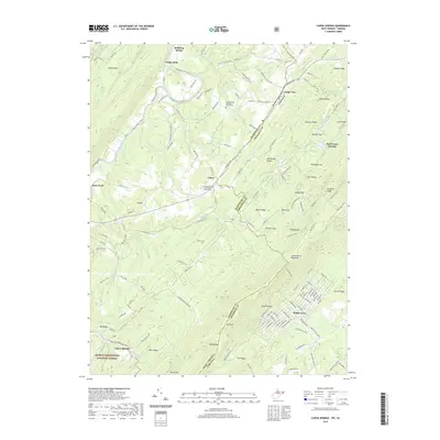
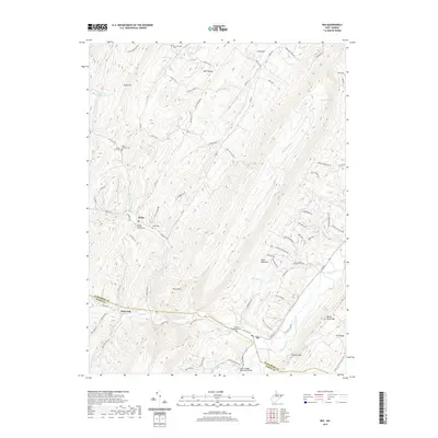
1973 Map of Hanging Rock
USGS Topo · Published 1975About this map
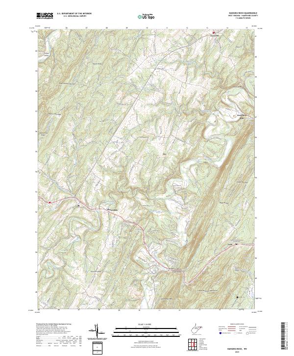
Slanesville and North River Mills anchor this 1970s landscape where the North River and Cacapon River cut through the prominent ridges of the Potomac Highlands. The map reveals a rural settlement pattern defined by gaps and hollows, particularly around Hanging Rock and Loom. Local genealogy and land history are preserved through numerous family-named landmarks like Mouser Ridge, Hiett Run, and Dugmore Ridge. Religious and community centers are marked at Tear Coat Ch and various smaller clusters at Pleasantdale and Hiett. The terrain is characterized by a series of parallel ridges including Cacapon Mountain and Timber Mtn, with a Lookout Tower standing atop Bens Knob. This era shows the region's transition, with traditional agriculture and mountain life intersecting with modern infrastructure such as a prominent Pipeline corridor crossing through Gore.
Find a feature on this map
39 named features on this map. Tap any name to fly to it.
Don’t see what you’re looking for? This feature index may not catch every label — zoom into the map to look around manually.
Map Details
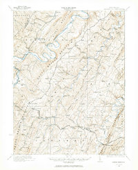
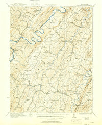
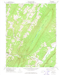
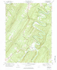
Editions of this 1973 Hanging Rock Map
This is the sole edition of this map. No revisions or reprints were ever made.
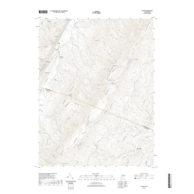
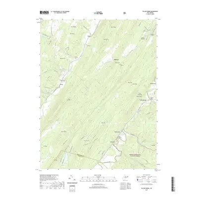
Historical Maps of Slanesville Through Time
51 maps found
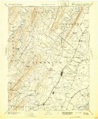
1894 Winchester
Hampshire County, WV
1921 Hanging Rock
Hampshire County, WV
1923 Hanging Rock
Hampshire County, WV
1965 Capon Springs
Hampshire County, WV
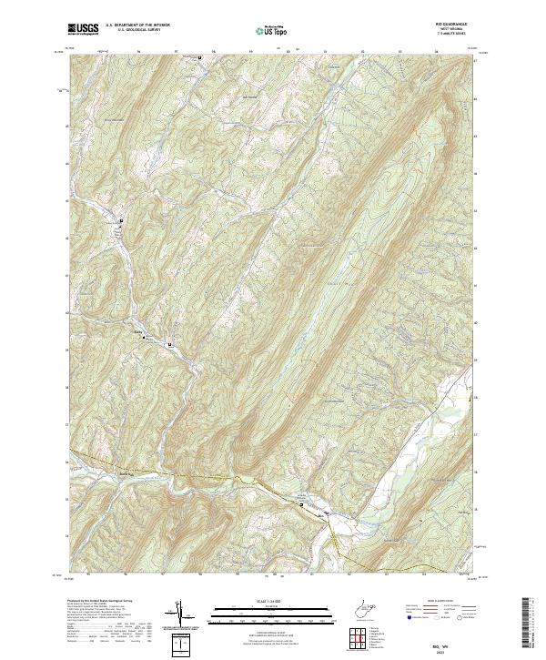
1970 Rio
Hampshire County, WV
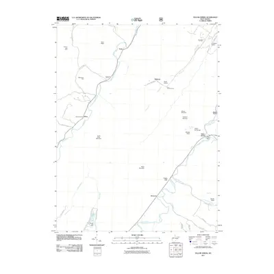
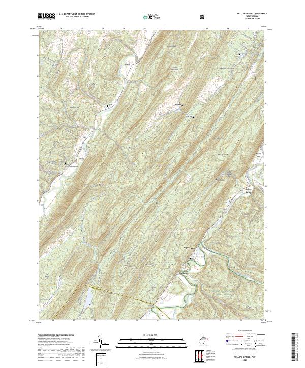
1970 Yellow Spring
Hampshire County, WV
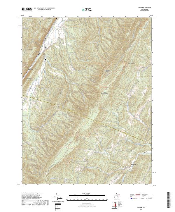
1971 Sector
Hampshire County, WV
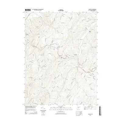
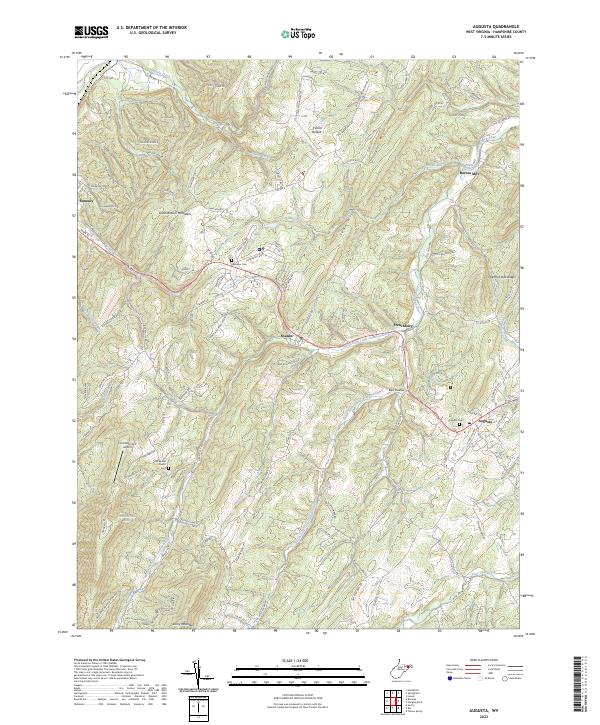
1973 Augusta
Hampshire County, WV
1973 Hanging Rock
Hampshire County, WV
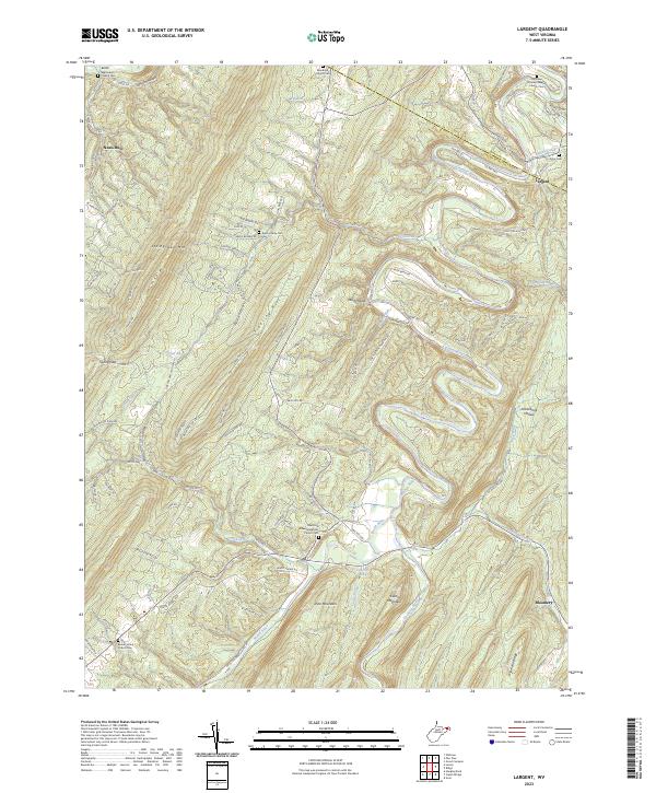
1973 Largent
Hampshire County, WV
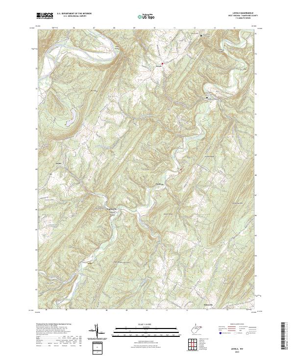
1973 Levels
Hampshire County, WV
2011 Augusta
Hampshire County, WV
2011 Capon Springs
Hampshire County, WV
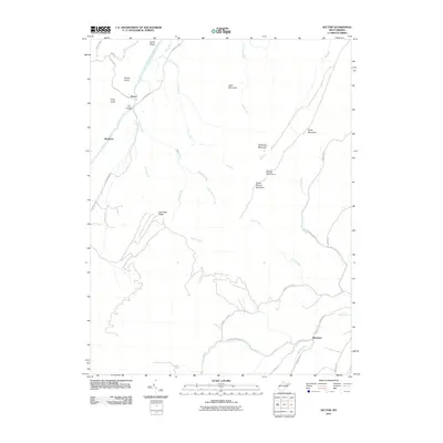
2011 Hanging Rock
Hampshire County, WV
2011 Largent
Hampshire County, WV
2011 Levels
Hampshire County, WV
2011 Rio
Hampshire County, WV
2011 Sector
Hampshire County, WV
2011 Yellow Spring
Hampshire County, WV
2014 Augusta
Hampshire County, WV
2014 Capon Springs
Hampshire County, WV
2014 Hanging Rock
Hampshire County, WV
2014 Largent
Hampshire County, WV
2014 Levels
Hampshire County, WV
2014 Rio
Hampshire County, WV
2014 Sector
Hampshire County, WV
2014 Yellow Spring
Hampshire County, WV
2016 Augusta
Hampshire County, WV
2016 Capon Springs
Hampshire County, WV
2016 Hanging Rock
Hampshire County, WV
2016 Largent
Hampshire County, WV
2016 Levels
Hampshire County, WV
2016 Rio
Hampshire County, WV
2016 Sector
Hampshire County, WV
2016 Yellow Spring
Hampshire County, WV
2019 Augusta
Hampshire County, WV
2019 Capon Springs
Hampshire County, WV
2019 Hanging Rock
Hampshire County, WV
2019 Largent
Hampshire County, WV
2019 Levels
Hampshire County, WV
2019 Rio
Hampshire County, WV
2019 Sector
Hampshire County, WV
2019 Yellow Spring
Hampshire County, WV
2023 Augusta
Hampshire County, WV
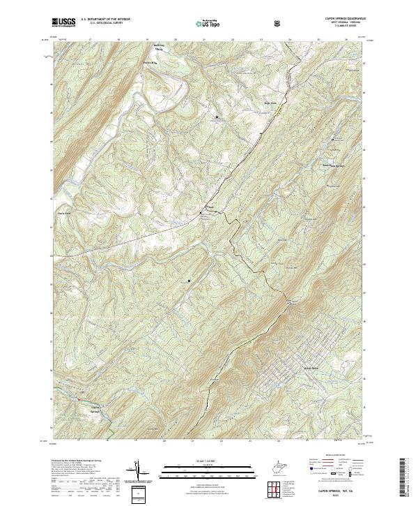
2023 Capon Springs
Hampshire County, WV
2023 Hanging Rock
Hampshire County, WV
2023 Largent
Hampshire County, WV
2023 Levels
Hampshire County, WV
2023 Rio
Hampshire County, WV
2023 Sector
Hampshire County, WV
2023 Yellow Spring
Hampshire County, WV