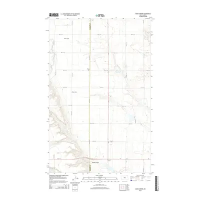
2014 Map of Hanks Corner
USGS Topo · Published 2014About this map
Hanks Corner serves as the focal point for this rural landscape where the Red River Valley meets the rolling plains of the northeast. The geography is defined by significant drainage systems, including the Little Pembina River in the northwest and the Tongue River in the southwest, each carving distinct coulees through the terrain. Evidence of water management for local agriculture and flood control is visible at Weiler Dam Reservoir.
Find a feature on this map
26 named features on this map. Tap any name to fly to it.
Don’t see what you’re looking for? This feature index may not catch every label — zoom into the map to look around manually.
Map Details
Editions of this 2014 Hanks Corner Map
This is the sole edition of this map. No revisions or reprints were ever made.
Other maps of this area

1918 · Walhalla
USGS Topo · 1:62,500

1943 · Walhalla
USGS Topo · 1:62,500

1952 · Thief River Falls
USGS Topo · 1:250,000

1953 · Devils Lake
USGS Topo · 1:250,000

1956 · Thief River Falls
USGS Topo · 1:250,000

1956 · Devils Lake
USGS Topo · 1:250,000

1957 · Thief River Falls
USGS Topo · 1:250,000

1964 · Mountain
USGS Topo · 1:24,000

1964 · Hallson
USGS Topo · 1:24,000

1964 · Leroy
USGS Topo · 1:24,000