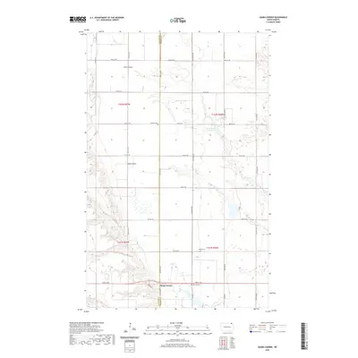
2020 Map of Hanks Corner
USGS Topo · Published 2020About this map
Hanks Corner sits at the intersection of rural life and natural drainage patterns where the boundary of Cavalier Co and Pembina Co meets. This landscape is defined by the deep incisions of Smith Coulee, Busse Coulee, and the headwaters of the Little Pembina River and Tongue River. These watercourses carve through the high plains, dictating the placement of the section-line road grid that characterizes the region's agricultural layout.
Find a feature on this map
32 named features on this map. Tap any name to fly to it.
Don’t see what you’re looking for? This feature index may not catch every label — zoom into the map to look around manually.
Map Details
Editions of this 2020 Hanks Corner Map
This is the sole edition of this map. No revisions or reprints were ever made.
Other maps of this area

1918 · Walhalla
USGS Topo · 1:62,500

1943 · Walhalla
USGS Topo · 1:62,500

1952 · Thief River Falls
USGS Topo · 1:250,000

1953 · Devils Lake
USGS Topo · 1:250,000

1956 · Thief River Falls
USGS Topo · 1:250,000

1956 · Devils Lake
USGS Topo · 1:250,000

1957 · Thief River Falls
USGS Topo · 1:250,000

1964 · Mountain
USGS Topo · 1:24,000

1964 · Hallson
USGS Topo · 1:24,000

1964 · Leroy
USGS Topo · 1:24,000