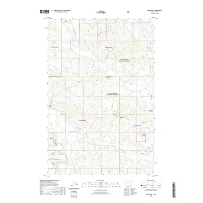
2020 Map of Hanks Gully
USGS Topo · Published 2020About this map
Little Missouri National Grassland dominates this badlands landscape, where the Little Missouri River carves a winding path through northern North Dakota. The area's complex drainage network is defined by numerous watercourses including Magpie Creek, Fantail Creek, and Whitetail Creek. This modern survey illustrates the intersection of conservation and industry, as the Roughrider Oil Field and Rough Rider Road occupy the northern reaches above the McKenzie and Billings County line.
Find a feature on this map
25 named features on this map. Tap any name to fly to it.
Don’t see what you’re looking for? This feature index may not catch every label — zoom into the map to look around manually.
Map Details
Editions of this 2020 Hanks Gully Map
This is the sole edition of this map. No revisions or reprints were ever made.
Other maps of this area

1953 · Watford City
USGS Topo · 1:250,000

1957 · Watford City
USGS Topo · 1:250,000

1963 · Gorham NW
USGS Topo · 1:24,000

1967 · Watford City
USGS Topo · 1:250,000

1970 · Eagle Draw
USGS Topo · 1:24,000

1970 · Hanks Gully
USGS Topo · 1:24,000

1970 · Roosevelt Creek East
USGS Topo · 1:24,000

1974 · Wolf Coulee
USGS Topo · 1:24,000

1974 · Squaretop Butte
USGS Topo · 1:24,000

1974 · Roosevelt Creek West
USGS Topo · 1:24,000