
1974 Map of Wolf Coulee
USGS Topo · Published 1976About this map
Beicegel Creek and its many winding tributaries define this portion of McKenzie County, where the topography of the Rhoades area is deeply carved by drainage patterns typical of the North Dakota badlands. This mid-1970s survey illustrates a landscape primarily shaped by seasonal water flow, with features like Wolf Coulee Creek and Cottonwood Creek cutting through the complex terrain. The presence of a Scoria Pit in the southeastern section points to the local geology and the extraction of red clinker, a material commonly used for road surfacing in the region. Other watercourses such as Sheep Creek, Bummer Creek, and Bennett Creek branch out across the township lines, marking a sparsely settled territory where land use is dictated by the dramatic shifts in elevation and the availability of water.
Find a feature on this map
9 named features on this map. Tap any name to fly to it.
Don’t see what you’re looking for? This feature index may not catch every label — zoom into the map to look around manually.
Map Details
Editions of this 1974 Wolf Coulee Map
This is the sole edition of this map. No revisions or reprints were ever made.
Other maps of this area

1953 · Watford City
USGS Topo · 1:250,000

1957 · Watford City
USGS Topo · 1:250,000

1958 · Long X Divide
USGS Topo · 1:24,000

1958 · Sperati Point
USGS Topo · 1:24,000

1967 · Watford City
USGS Topo · 1:250,000

1970 · Hanks Gully
USGS Topo · 1:24,000

1974 · Squaretop Butte
USGS Topo · 1:24,000

1974 · Buckskin Butte
USGS Topo · 1:24,000
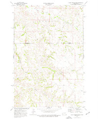
1974 · Scairt Woman Draw
USGS Topo · 1:24,000
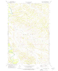
1974 · Ice Box Canyon
USGS Topo · 1:24,000