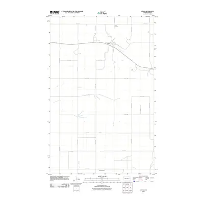
2011 Map of Hanks
USGS Topo · Published 2011About this map
Hanks forms the focal point of this Williams County landscape, established at the junction of Railroad Ave and Main St. The town's early 21st-century footprint is surrounded by evidence of rural industry and community history, notably the Bublitz Mine to the north and the Erke Mine to the southeast. These coal-related sites are interspersed with the winding paths of Scoria Creek and Cottonwood Creek, which drain the township's agricultural sections. For those tracing family history in the area, the map precisely locates both the Hanks Cemetery on County Hwy-7 and the Gladys Cemetery along the southern border at 75th St NW. The rigid grid of section roads, from 147th Ave NW to 142nd Ave NW, reveals the enduring structure of North Dakota's homestead-era land division.
Find a feature on this map
29 named features on this map. Tap any name to fly to it.
Don’t see what you’re looking for? This feature index may not catch every label — zoom into the map to look around manually.
Map Details
Editions of this 2011 Hanks Map
This is the sole edition of this map. No revisions or reprints were ever made.
Other maps of this area

1948 · Grenora
USGS Topo · 1:24,000

1948 · Hanks
USGS Topo · 1:24,000

1948 · Stady
USGS Topo · 1:24,000

1948 · Zahl
USGS Topo · 1:24,000

1953 · Williston
USGS Topo · 1:250,000

1957 · Williston
USGS Topo · 1:250,000

1974 · Blacktail Lake
USGS Topo · 1:24,000

1974 · Bonetraill
USGS Topo · 1:24,000

1974 · West Bonetraill
USGS Topo · 1:24,000

1983 · Writing Rock South
USGS Topo · 1:24,000