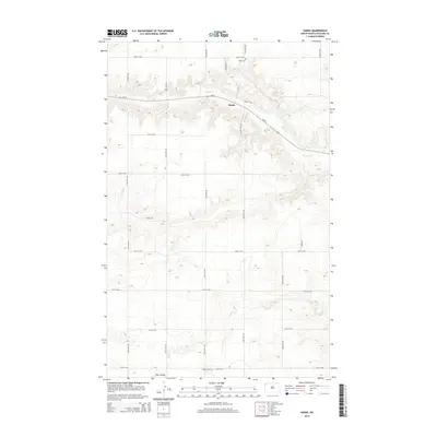
2014 Map of Hanks
USGS Topo · Published 2014About this map
Hanks sits at a strategic bend in ND-50 within Williams County, serving as the primary hub in this portion of the North Dakota plains. The settlement pattern here is defined by a rigorous grid of section-line roads, including 83rd St NW and 145th Ave NW, which negotiate the undulating coulee country of the Missouri Plateau. Local history is anchored by the presence of Hanks Cem and Gladys Cem, sites that provide valuable touchstones for genealogists researching early homesteading families in this prairie landscape.
Find a feature on this map
23 named features on this map. Tap any name to fly to it.
Don’t see what you’re looking for? This feature index may not catch every label — zoom into the map to look around manually.
Map Details
Editions of this 2014 Hanks Map
This is the sole edition of this map. No revisions or reprints were ever made.
Other maps of this area

1948 · Grenora
USGS Topo · 1:24,000

1948 · Hanks
USGS Topo · 1:24,000

1948 · Stady
USGS Topo · 1:24,000

1948 · Zahl
USGS Topo · 1:24,000

1953 · Williston
USGS Topo · 1:250,000

1957 · Williston
USGS Topo · 1:250,000

1974 · Blacktail Lake
USGS Topo · 1:24,000

1974 · Bonetraill
USGS Topo · 1:24,000

1974 · West Bonetraill
USGS Topo · 1:24,000

1983 · Writing Rock South
USGS Topo · 1:24,000