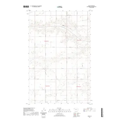
2020 Map of Hanks
USGS Topo · Published 2020About this map
Hanks sits at the intersection of Co Rd 7A and 145th Ave NW, serving as a central point in this northern Williams County landscape. The area is defined by the drainage of Scorpio Cr as it winds through the northern sections, and the presence of Pats Coulee to the south. This 2020 survey illustrates a rural environment shaped by the Rectangular Survey System, with a dense network of section-line roads like 82nd St NW and 147th Ave NW providing access to agricultural tracts. For those tracing local history or family lineage, the map identifies two significant burial sites: the Hanks Cem located just north of the townsite and the Gladys Cem positioned further south near 75th St NW. These landmarks, along with established routes such as Co Hwy 12, document the persistent infrastructure of this high plains community.
Find a feature on this map
28 named features on this map. Tap any name to fly to it.
Don’t see what you’re looking for? This feature index may not catch every label — zoom into the map to look around manually.
Map Details
Editions of this 2020 Hanks Map
This is the sole edition of this map. No revisions or reprints were ever made.
Other maps of this area

1948 · Grenora
USGS Topo · 1:24,000

1948 · Hanks
USGS Topo · 1:24,000

1948 · Stady
USGS Topo · 1:24,000

1948 · Zahl
USGS Topo · 1:24,000

1953 · Williston
USGS Topo · 1:250,000

1957 · Williston
USGS Topo · 1:250,000

1974 · Blacktail Lake
USGS Topo · 1:24,000

1974 · Bonetraill
USGS Topo · 1:24,000

1974 · West Bonetraill
USGS Topo · 1:24,000

1983 · Writing Rock South
USGS Topo · 1:24,000