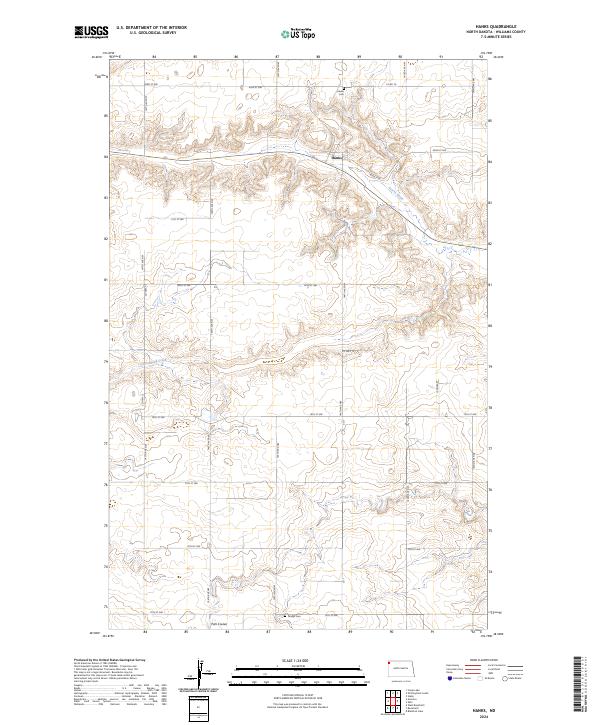
2024 Map of Hanks
USGS Topo · Published 2024About this map
The settlement of Hanks sits along the northern reaches of this Williams County landscape, where the prairie begins to break into the drainage systems of the Missouri River plateau. The town is marked by its proximity to the headwaters of Scorpio Creek, which carves a distinct path through the local topography. This map documents the rural organization of the high plains, defined by a rigid grid of section lines and county roads such as Co Hwy 12 and 145th Ave NW.
Find a feature on this map
28 named features on this map. Tap any name to fly to it.
Don’t see what you’re looking for? This feature index may not catch every label — zoom into the map to look around manually.
Map Details
Editions of this 2024 Hanks Map
This is the sole edition of this map. No revisions or reprints were ever made.
Other maps of this area

1948 · Grenora
USGS Topo · 1:24,000

1948 · Hanks
USGS Topo · 1:24,000

1948 · Stady
USGS Topo · 1:24,000

1948 · Zahl
USGS Topo · 1:24,000

1953 · Williston
USGS Topo · 1:250,000

1957 · Williston
USGS Topo · 1:250,000

1974 · Blacktail Lake
USGS Topo · 1:24,000

1974 · Bonetraill
USGS Topo · 1:24,000

1974 · West Bonetraill
USGS Topo · 1:24,000

1983 · Writing Rock South
USGS Topo · 1:24,000