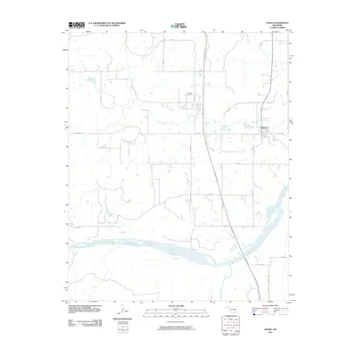
2010 Map of Hanna
USGS Topo · Published 2010About this map
Hanna anchors this portion of Oklahoma's interior, situated at the intersection of a grid-iron road system and the curving paths of local waterways. The settlement is defined by its proximity to Mill Creek, which winds through the center of the quadrangle before eventually approaching the wide, braided channel of the Canadian River to the south. This river corridor, including the mouth of Scipio Creek, represents the dominant natural feature of the landscape, providing a stark contrast to the upland agricultural sections partitioned by routes like Ulan Rd.
Find a feature on this map
26 named features on this map. Tap any name to fly to it.
Don’t see what you’re looking for? This feature index may not catch every label — zoom into the map to look around manually.
Map Details
Editions of this 2010 Hanna Map
This is the sole edition of this map. No revisions or reprints were ever made.
Other maps of this area

1900 · Canadian
USGS Topo · 1:125,000

1900 · Wewoka
USGS Topo · 1:125,000

1946 · Fort Smith
USGS Topo · 1:250,000

1954 · Oklahoma City
USGS Topo · 1:250,000

1957 · Oklahoma City
USGS Topo · 1:250,000

1962 · Raiford
USGS Topo · 1:24,000

1962 · Henryetta SW
USGS Topo · 1:24,000

1963 · Oklahoma City
USGS Topo · 1:250,000

1965 · Fort Smith
USGS Topo · 1:250,000

1967 · Fort Smith
USGS Topo · 1:250,000