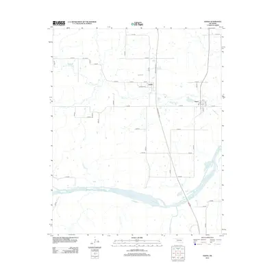
2012 Map of Hanna
USGS Topo · Published 2012About this map
Hanna and the nearby settlement of Vernon anchor this part of McIntosh County, situated just north of the wide Canadian River. The landscape is defined by the winding course of Mill Cr, which flows eastward toward the larger river system, and Scipio Cr in the southern reaches. Local history is centered around the Vernon Cem, located along the rural grid near Vernon, while the modern transit corridor of the Indian Nation Tpke bisects the terrain from north to south. The map reveals a transition from the traditional rural layouts of streets like High St and Louisiana Ave in the small town centers to the expansive agricultural sections defined by the county road system. This survey provides a clear view of the area's mid-20th-century road network before further modern development, including the arterial connections of E 1250 Rd and N4000 Rd.
Find a feature on this map
38 named features on this map. Tap any name to fly to it.
Don’t see what you’re looking for? This feature index may not catch every label — zoom into the map to look around manually.
Map Details
Editions of this 2012 Hanna Map
This is the sole edition of this map. No revisions or reprints were ever made.
Other maps of this area

1900 · Canadian
USGS Topo · 1:125,000

1900 · Wewoka
USGS Topo · 1:125,000

1946 · Fort Smith
USGS Topo · 1:250,000

1954 · Oklahoma City
USGS Topo · 1:250,000

1957 · Oklahoma City
USGS Topo · 1:250,000

1962 · Raiford
USGS Topo · 1:24,000

1962 · Henryetta SW
USGS Topo · 1:24,000

1963 · Oklahoma City
USGS Topo · 1:250,000

1965 · Fort Smith
USGS Topo · 1:250,000

1967 · Fort Smith
USGS Topo · 1:250,000