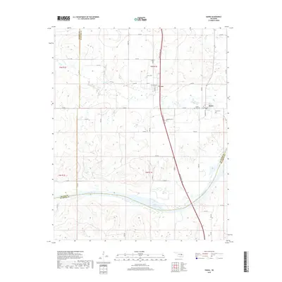
2018 Map of Hanna
USGS Topo · Published 2018About this map
The Canadian River cuts a wide, meandering path through the southern portion of this landscape, marking the historical border between McIntosh, Hughes, and Pittsburg counties. This area of Oklahoma is defined by a network of rural roads such as e1250 RD and n3980 RD that connect the small settlements of Hanna and Vernon. The topography is shaped by the drainage of Mill Cr and Scipio Creek, with the modern Indian Nation Tpke slicing north-to-south through the center of the quadrangle.
Find a feature on this map
44 named features on this map. Tap any name to fly to it.
Don’t see what you’re looking for? This feature index may not catch every label — zoom into the map to look around manually.
Map Details
Editions of this 2018 Hanna Map
This is the sole edition of this map. No revisions or reprints were ever made.
Other maps of this area

1900 · Canadian
USGS Topo · 1:125,000

1900 · Wewoka
USGS Topo · 1:125,000

1946 · Fort Smith
USGS Topo · 1:250,000

1954 · Oklahoma City
USGS Topo · 1:250,000

1957 · Oklahoma City
USGS Topo · 1:250,000

1962 · Raiford
USGS Topo · 1:24,000

1962 · Henryetta SW
USGS Topo · 1:24,000

1963 · Oklahoma City
USGS Topo · 1:250,000

1965 · Fort Smith
USGS Topo · 1:250,000

1967 · Fort Smith
USGS Topo · 1:250,000