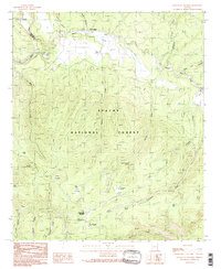
1991 Map of Hannagan Meadow
USGS Topo · Published 1991About this map
Apache National Forest dominates this landscape in the early 1990s, where high-elevation meadows and cienegas define the drainage patterns of the White Mountains. The small settlement of Hannagan Meadow serves as a central point of activity, accompanied by the nearby Hannagan FS Station and Hannagan Campground. This area is characterized by its numerous cienegas—marshy mountain meadows—such as Lost Cienega, Deep Cienega, and Horseshoe Cienega, which filter water into the headwaters of the Black River and Beaver Creek.
Find a feature on this map
35 named features on this map. Tap any name to fly to it.
Don’t see what you’re looking for? This feature index may not catch every label — zoom into the map to look around manually.
Map Details
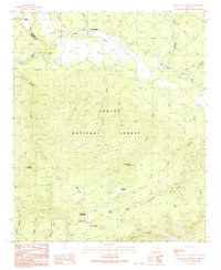
Editions of this 1991 Hannagan Meadow Map
2 editions found
Other maps of this area

1922 · Nutrioso
USGS Topo · 1:125,000

1954 · Clifton
USGS Topo · 1:250,000

1957 · Clifton
USGS Topo · 1:250,000

1958 · Clifton
USGS Topo · 1:250,000

1958 · Alpine
USGS Topo · 1:62,500

1958 · Hannagan Meadow
USGS Topo · 1:62,500

1958 · Big Lake
USGS Topo · 1:62,500

1961 · Blue
USGS Topo · 1:62,500

1962 · Clifton
USGS Topo · 1:250,000
1981 · Nutrioso
USGS Topo · 1:100,000