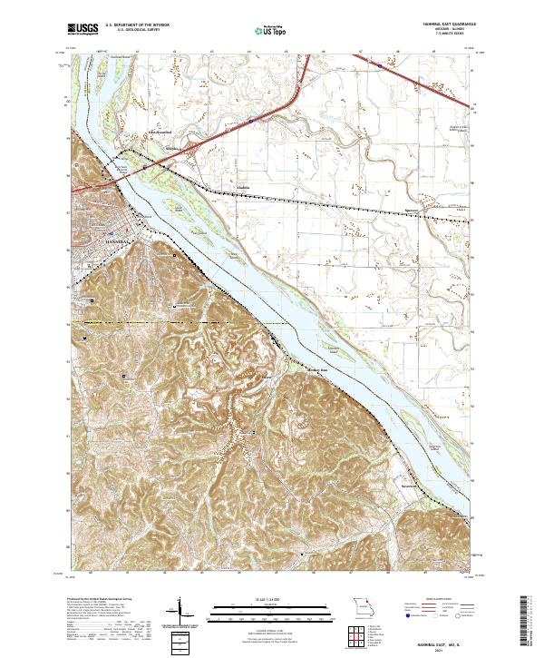
2021 Map of Hannibal East
USGS Topo · Published 2021About this map
Hannibal sits as the primary urban center on this western bank of the Mississippi River, where the historic Marion County District 2 Courthouse and street grids of Broadway and Market St meet the riverfront. The landscape transitions from the developed city center to the prominent heights of Cardiff Hill and Holliday Hill, overlooking a complex river system of chutes and islands like Pearl Island and Tower Island.
Find a feature on this map
99 named features on this map. Tap any name to fly to it.
Don’t see what you’re looking for? This feature index may not catch every label — zoom into the map to look around manually.
Map Details
Editions of this 2021 Hannibal East Map
This is the sole edition of this map. No revisions or reprints were ever made.
Other maps of this area
1925 · Quincy
USGS Topo · 1:62,500
1925 · Liberty
USGS Topo · 1:62,500
1927 · Liberty
USGS Topo · 1:62,500
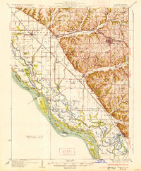
1931 · Barry
USGS Topo · 1:62,500
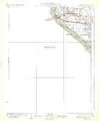
1932 · Hannibal
USGS Topo · 1:62,500
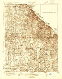
1936 · Hannibal
USGS Topo · 1:48,000
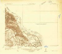
1936 · Barry
USGS Topo · 1:48,000
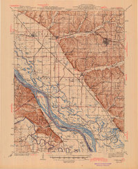
1944 · Barry
USGS Topo · 1:62,500
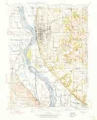
1944 · Quincy
USGS Topo · 1:62,500
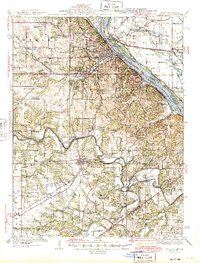
1945 · Hannibal
USGS Topo · 1:62,500