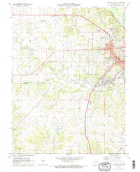
1971 Map of Hannibal West
USGS Topo · Published 1973About this map
Hannibal and its western expansions are captured here at the dawn of the 1970s, showcasing the transition from industrial river town to a growing regional hub. The map highlights the city's geography, with Huckleberry Park and the Huck Finn Shopping Center serving as anchors for mid-century development. Evidence of the area's educational and religious significance is clear through landmarks such as the Missouri Baptist College and St Thomas Seminary, while the rural landscape to the west is dotted with family-named burial grounds like Minor-Santiago Cem and Nelson Cem. The rail-centered history of the region is preserved along the routes of the Burlington Northern and Norfolk and Western Railroad. Beyond the city limits, terrain features like Boling Cave and water bodies including Crystal Blue Lake reveal the character of the Marion and Ralls County borderlands.
Find a feature on this map
59 named features on this map. Tap any name to fly to it.
Don’t see what you’re looking for? This feature index may not catch every label — zoom into the map to look around manually.
Map Details
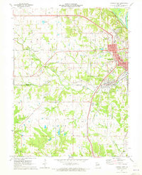
Editions of this 1971 Hannibal West Map
2 editions found
Other maps of this area

1903 · Palmyra
USGS Topo · 1:125,000

1925 · Quincy
USGS Topo · 1:62,500

1932 · Hannibal
USGS Topo · 1:62,500

1936 · Hannibal
USGS Topo · 1:48,000

1944 · Quincy
USGS Topo · 1:62,500

1945 · Hannibal
USGS Topo · 1:62,500

1945 · Quincy
USGS Topo · 1:62,500

1948 · Quincy
USGS Topo · 1:250,000

1949 · Palmyra
USGS Topo · 1:24,000

1950 · Palmyra
USGS Topo · 1:24,000