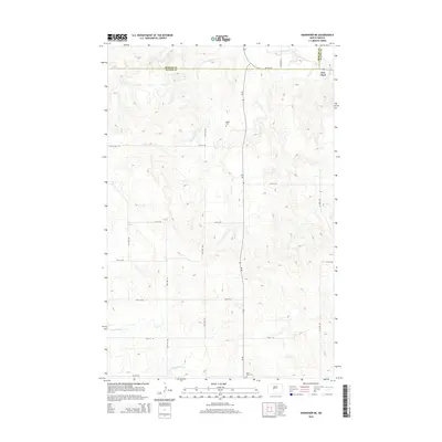
2014 Map of Hannover NE
USGS Topo · Published 2014About this map
Fort Clark sits near the junction of Mercer and Oliver counties, positioned at the northeastern edge of this landscape where the high plains meet the drainage of several local creeks. The terrain is defined by a series of drainages, including Square Butte Cr in the south and the winding paths of Clarks Cr and Chardon Cr further north. This agricultural landscape is mapped according to a rigid section-line road grid, with routes like ND-48 and 37th Ave SW providing the primary transit through the upland fields. Genealogists and local historians can find notable markers of the area's rural community at the Bagley Cem and Saint Pauls Cem, which serve as permanent records of the early families who settled this portion of the Missouri River plateau. The map details the subtle elevation changes between the creek bottoms and the higher ridges that overlook the Alderin Cr valley.
Find a feature on this map
23 named features on this map. Tap any name to fly to it.
Don’t see what you’re looking for? This feature index may not catch every label — zoom into the map to look around manually.
Map Details
Editions of this 2014 Hannover NE Map
This is the sole edition of this map. No revisions or reprints were ever made.
Other maps of this area

1948 · Stanton
USGS Topo · 1:62,500

1949 · Stanton
USGS Topo · 1:62,500

1949 · Washburn
USGS Topo · 1:62,500

1954 · McClusky
USGS Topo · 1:250,000

1958 · McClusky
USGS Topo · 1:250,000

1967 · Washburn SW
USGS Topo · 1:24,000

1967 · Stanton SE
USGS Topo · 1:24,000

1968 · Hannover NE
USGS Topo · 1:24,000

1968 · Fort Clark
USGS Topo · 1:24,000

1968 · Stanton
USGS Topo · 1:24,000