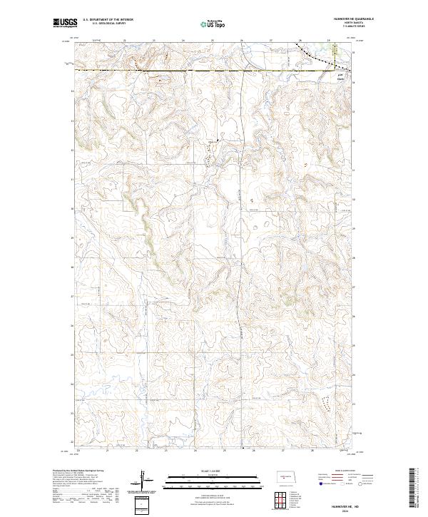
2024 Map of Hannover NE
USGS Topo · Published 2024About this map
Bagley Cem sits as a lonely marker of early settlement amidst the rolling draws of Oliver and Mercer counties. This landscape is defined by the dendritic patterns of Alderin Creek and Chardon Creek, which feed into the broader drainage of the area. The map captures a section of the northern Great Plains still structured by the section-line road grid, including 12th St SW and 41st Ave SW, which facilitate movement through the ranching and agricultural terrain. To the northeast, the landform of Fort Clark stands as a significant topographical landmark near the edge of the Missouri River valley, while to the south, the winding course of Square Butte Creek carves through the prairie. The geography reflects a sparsely populated region where natural watercourses like Clarks Creek remain the primary features of the physical environment.
Find a feature on this map
27 named features on this map. Tap any name to fly to it.
Don’t see what you’re looking for? This feature index may not catch every label — zoom into the map to look around manually.
Map Details
Editions of this 2024 Hannover NE Map
This is the sole edition of this map. No revisions or reprints were ever made.
Other maps of this area

1948 · Stanton
USGS Topo · 1:62,500

1949 · Stanton
USGS Topo · 1:62,500

1949 · Washburn
USGS Topo · 1:62,500

1954 · McClusky
USGS Topo · 1:250,000

1958 · McClusky
USGS Topo · 1:250,000

1967 · Washburn SW
USGS Topo · 1:24,000

1967 · Stanton SE
USGS Topo · 1:24,000

1968 · Hannover NE
USGS Topo · 1:24,000

1968 · Fort Clark
USGS Topo · 1:24,000

1968 · Stanton
USGS Topo · 1:24,000