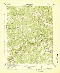
1943 Map of Hanover Academy
USGS Topo · Published 1943About this map
The South Anna River and its many winding tributaries define this rural Hanover County landscape during the early 1940s. The area is marked by a network of historic river crossings, including Horseshoe Bridge and Ground Squirrel Bridge, which connected small agrarian settlements and mills. Local industry and social life centered around sites like Sneeds Mill and Cross Mill, alongside spiritual hubs such as Mt Olivet Church.
Find a feature on this map
22 named features on this map. Tap any name to fly to it.
Don’t see what you’re looking for? This feature index may not catch every label — zoom into the map to look around manually.
Map Details
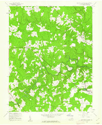
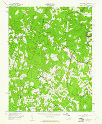
Editions of this 1943 Hanover Academy Map
2 editions found
Other maps of this area

1890 · Goochland
USGS Topo · 1:125,000

1892 · Goochland
USGS Topo · 1:125,000

1894 · Richmond
USGS Topo · 1:62,500

1895 · Richmond
USGS Topo · 1:62,500

1918 · Doswell
USGS Topo · 1:62,500

1936 · Glen Allen
USGS Topo · 1:24,000

1938 · Yellow Tavern
USGS Topo · 1:31,680

1941 · Glen Allen
USGS Topo · 1:31,680
1942 · Beaverdam
USGS Topo · 1:24,000
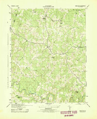
1943 · Mabelton
USGS Topo · 1:31,680