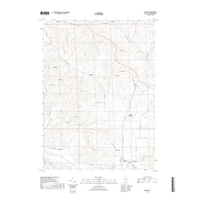
2018 Map of Hanover
USGS Topo · Published 2018About this map
Hanover sits along the southern course of the Apple River in this Jo Daviess County landscape, where the terrain is defined by a series of deep hollows. The settlement pattern follows the drainage of the Driftless Area, with smaller localities such as Winston, Rodden, and North Hanover established between the ridges. To the west, the deeply etched Irish Hollow and Irish Hollow Cr dominate the topography, while Long Hollow and Snipe Hollow cut through the northeastern reaches. For local researchers, the map identifies specific community landmarks including Log Church Cem and Weston Cem, alongside the Merkle Airport on the plateau north of town. The network of rural roads like S Devils Ladder Rd and W Black School Rd reflects the long-established agricultural grid that connects these valley and ridge settlements.
Find a feature on this map
56 named features on this map. Tap any name to fly to it.
Don’t see what you’re looking for? This feature index may not catch every label — zoom into the map to look around manually.
Map Details
Editions of this 2018 Hanover Map
This is the sole edition of this map. No revisions or reprints were ever made.
Other maps of this area

1892 · Savanna
USGS Topo · 1:62,500

1911 · Elizabeth
USGS Topo · 1:62,500

1911 · Galena
USGS Topo · 1:62,500

1913 · Galena
USGS Topo · 1:62,500

1935 · Miles
USGS Topo · 1:62,500

1936 · Elizabeth
USGS Topo · 1:62,500

1941 · Miles
USGS Topo · 1:62,500

1952 · Savanna
USGS Topo · 1:62,500

1953 · Blackhawk
USGS Topo · 1:24,000

1953 · Green Island
USGS Topo · 1:24,000