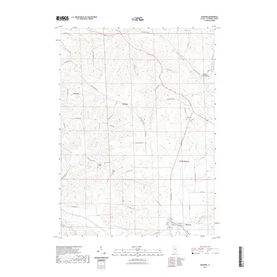
2021 Map of Hanover
USGS Topo · Published 2021About this map
The Apple River corridor anchors the southern portion of this Jo Daviess County survey, where the village of Hanover and its neighboring settlement of North Hanover sit amidst a complex network of ridges and drainage basins. The landscape is defined by its deep incisions, most notably Long Hollow, Beaty Hollow, and Snipe Hollow, which drain the uplands toward the river. These geographic features often bear family-derived names, indicating a long-standing pattern of rural settlement and local land use.
Find a feature on this map
56 named features on this map. Tap any name to fly to it.
Don’t see what you’re looking for? This feature index may not catch every label — zoom into the map to look around manually.
Map Details
Editions of this 2021 Hanover Map
This is the sole edition of this map. No revisions or reprints were ever made.
Other maps of this area

1892 · Savanna
USGS Topo · 1:62,500

1911 · Elizabeth
USGS Topo · 1:62,500

1911 · Galena
USGS Topo · 1:62,500

1913 · Galena
USGS Topo · 1:62,500

1935 · Miles
USGS Topo · 1:62,500

1936 · Elizabeth
USGS Topo · 1:62,500

1941 · Miles
USGS Topo · 1:62,500

1952 · Savanna
USGS Topo · 1:62,500

1953 · Blackhawk
USGS Topo · 1:24,000

1953 · Green Island
USGS Topo · 1:24,000