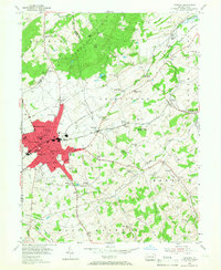
1954 Map of Hanover
USGS Topo · Published 1967About this map
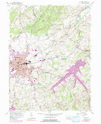
Pigeon Hills and the Lillich Valley dominate the northern landscape of this York County area, where the Western Maryland railway connects the industrial and residential core of Hanover to outlying hamlets. The 1950s survey captures a well-established school system, featuring localized institutions such as Eichelberger High Sch and several grade schools including High St Grade Sch and Hanover Street Sch.
Find a feature on this map
83 named features on this map. Tap any name to fly to it.
Don’t see what you’re looking for? This feature index may not catch every label — zoom into the map to look around manually.
Map Details
Editions of this 1954 Hanover Map
5 editions found
Other maps of this area

1905 · Westminster
USGS Topo · 1:62,500

1908 · Gettysburg
USGS Topo · 1:62,500

1911 · Taneytown
USGS Topo · 1:62,500

1920 · Hanover
USGS Topo · 1:62,500

1922 · Hanover
USGS Topo · 1:62,500

1942 · Gettysburg
USGS Topo · 1:125,000

1944 · Manchester
USGS Topo · 1:31,680

1944 · Mc Sherrystown
USGS Topo · 1:31,680

1944 · Littlestown
USGS Topo · 1:31,680

1944 · Lineboro
USGS Topo · 1:31,680