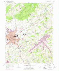
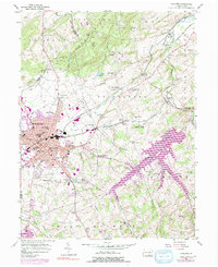
1954 Map of Hanover
USGS Topo · Published 1975About this map
Hanover stands as a central industrial and transport hub where the Western Maryland and Penn Central railroads intersect, reflecting the town's mid-century growth. To the southeast, the massive Lake Marburg dominates the landscape, its branching fingers reaching into the surrounding farmland. The topography is defined by the Pigeon Hills in the north, featuring landmarks like High Rock and Pulpit Rock.
Find a feature on this map
74 named features on this map. Tap any name to fly to it.
Don’t see what you’re looking for? This feature index may not catch every label — zoom into the map to look around manually.
Map Details
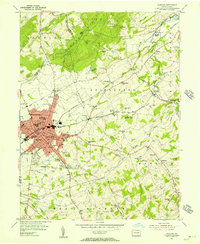
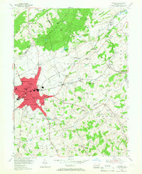
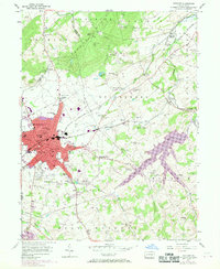
Editions of this 1954 Hanover Map
5 editions found
Other maps of this area

1905 · Westminster
USGS Topo · 1:62,500

1908 · Gettysburg
USGS Topo · 1:62,500

1911 · Taneytown
USGS Topo · 1:62,500

1920 · Hanover
USGS Topo · 1:62,500

1922 · Hanover
USGS Topo · 1:62,500

1942 · Gettysburg
USGS Topo · 1:125,000

1944 · Manchester
USGS Topo · 1:31,680

1944 · Mc Sherrystown
USGS Topo · 1:31,680

1944 · Littlestown
USGS Topo · 1:31,680

1944 · Lineboro
USGS Topo · 1:31,680