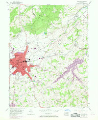
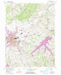
1954 Map of Hanover
USGS Topo · Published 1969About this map
The manufacturing and transit hub of Hanover dominates this 1954 survey, which was updated in 1968 to reflect a significant urban expansion to the north and east. The city sits at the confluence of the Western Maryland RR and the Penn Central RR, industries that supported local landmarks like the Kraft Mill and the Fairgrounds. Beyond the town center, the landscape of York and Adams Counties is dotted with small-scale agriculture and historic community anchors, including the Lincoln Speedway and Devener Airport. Along the West Branch Codorus Creek and its tributaries, rural life centered on local institutions such as Menges Mills, Fuhrmans Mill, and numerous country schools like the Bears Sch and Center Sch. The map preserves the exact locations of many family-named cemeteries, from Mt Olivet Cem to the smaller Bucher Cem, making it an essential resource for regional genealogy.
Find a feature on this map
87 named features on this map. Tap any name to fly to it.
Don’t see what you’re looking for? This feature index may not catch every label — zoom into the map to look around manually.
Map Details
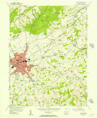
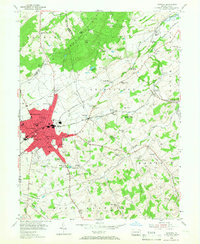
Editions of this 1954 Hanover Map
5 editions found
Other maps of this area

1905 · Westminster
USGS Topo · 1:62,500

1908 · Gettysburg
USGS Topo · 1:62,500

1911 · Taneytown
USGS Topo · 1:62,500

1920 · Hanover
USGS Topo · 1:62,500

1922 · Hanover
USGS Topo · 1:62,500

1942 · Gettysburg
USGS Topo · 1:125,000

1944 · Manchester
USGS Topo · 1:31,680

1944 · Mc Sherrystown
USGS Topo · 1:31,680

1944 · Littlestown
USGS Topo · 1:31,680

1944 · Lineboro
USGS Topo · 1:31,680