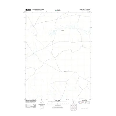
2012 Map of Hansen Lake NE
USGS Topo · Published 2012About this map
Stratton Camp marks a lonely human outpost in this high-desert pocket of Sweetwater County, where the topography is defined by the vast basins and ephemeral hydrology typical of southwestern Wyoming. The landscape is dominated by the Chain Lakes Flat, a distinctive terrain of small depressions and seasonal water bodies that reflect the arid character of the Red Desert region. Settlement is sparse, with infrastructure limited to a few arterial tracks such as Stratton Rd and the Riner Cutoff Rd, which cut across the wide-open flats. This 2012 survey captures the area's essential character as a place of transit and remote camp sites rather than permanent towns, preserving the footprint of the contemporary high-plains interior.
Find a feature on this map
5 named features on this map. Tap any name to fly to it.
Don’t see what you’re looking for? This feature index may not catch every label — zoom into the map to look around manually.
Map Details
Editions of this 2012 Hansen Lake NE Map
This is the sole edition of this map. No revisions or reprints were ever made.
Other maps of this area

1954 · Rawlins
USGS Topo · 1:250,000

1955 · Casper
USGS Topo · 1:250,000

1958 · Rawlins
USGS Topo · 1:250,000

1958 · Casper
USGS Topo · 1:250,000

1960 · Battle Spring
USGS Topo · 1:24,000

1960 · Hansen Lake NE
USGS Topo · 1:24,000

1960 · Sooner Reservoir
USGS Topo · 1:24,000

1960 · Larsen Knoll
USGS Topo · 1:24,000

1960 · Hansen Lake
USGS Topo · 1:24,000

1960 · Chicken Spring
USGS Topo · 1:24,000