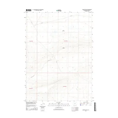
2015 Map of Hansen Lake NE
USGS Topo · Published 2015About this map
Chain Lakes Flat and the surrounding high desert terrain define this corner of Sweetwater County, Wyoming. The landscape is characterized by its internal drainage basins and the prominent Chain Lakes Rim, which provides a distinct topographical break in the region. Transportation through this arid expanse relies on a network of backroads, most notably the Continental Divide Rd, which winds through the southwestern portion of the sheet. Other routes like CO Road 3202 and BLM 3203 provide access to the vast public lands managed by the Bureau of Land Management. This 2015 survey illustrates the modern configuration of the Public Land Survey System, with township and range lines like t23n r92w and t22n r93w dividing the territory into its legal sections.
Find a feature on this map
9 named features on this map. Tap any name to fly to it.
Don’t see what you’re looking for? This feature index may not catch every label — zoom into the map to look around manually.
Map Details
Editions of this 2015 Hansen Lake NE Map
This is the sole edition of this map. No revisions or reprints were ever made.
Other maps of this area

1954 · Rawlins
USGS Topo · 1:250,000

1955 · Casper
USGS Topo · 1:250,000

1958 · Rawlins
USGS Topo · 1:250,000

1958 · Casper
USGS Topo · 1:250,000

1960 · Battle Spring
USGS Topo · 1:24,000

1960 · Hansen Lake NE
USGS Topo · 1:24,000

1960 · Sooner Reservoir
USGS Topo · 1:24,000

1960 · Larsen Knoll
USGS Topo · 1:24,000

1960 · Hansen Lake
USGS Topo · 1:24,000

1960 · Chicken Spring
USGS Topo · 1:24,000