
1971 Map of Hanson Flat
USGS Topo · Published 1975About this map
Fort Peck Lake dominates the center of this 1971 landscape, marking the confluence where the Missouri River meets the expansive reservoir. This area, protected within the Charles M. Russell National Wildlife Range, shows a transition from the river lowlands at Miller Bottoms and Hutton Bottoms to the high plateaus of Hanson Flat. The geography is defined by complex drainage systems like Fisher Coulee and Sevenmile Creek that feed into the main river channel.
Find a feature on this map
25 named features on this map. Tap any name to fly to it.
Don’t see what you’re looking for? This feature index may not catch every label — zoom into the map to look around manually.
Map Details
Editions of this 1971 Hanson Flat Map
This is the sole edition of this map. No revisions or reprints were ever made.
Other maps of this area

1954 · Lewistown
USGS Topo · 1:250,000

1959 · Lewistown
USGS Topo · 1:250,000

1965 · Dry Coulee
USGS Topo · 1:24,000

1965 · Lake Reservoir
USGS Topo · 1:24,000

1965 · Weingart Place NW
USGS Topo · 1:24,000

1971 · Blizzard Reservoir
USGS Topo · 1:24,000

1971 · Kepple Bottoms
USGS Topo · 1:24,000
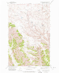
1971 · Sagebrush Reservoir
USGS Topo · 1:24,000

1984 · Zortman
USGS Topo · 1:100,000
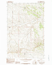
1985 · Dovetail Butte
USGS Topo · 1:24,000