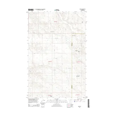
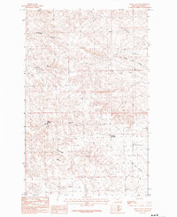
2014 Map of Harb
USGS Topo · Published 2014About this map
Harb sits at the center of this rural landscape, defined by a complex network of coulees and local roads spanning the border of Phillips and Valley County. The terrain is marked by deep drainage patterns like Snowbank Coulee and Moss Coulee, which dictate the placement of transportation routes across the high plains. The drainage system is further articulated by Blanche Coulee and Box Elder Coulee, illustrating the erosional character of this eastern Montana region. Roads such as Ohs Cutacross Rd and Kluck Rd provide the primary access to these remote reaches, tracing the township and range boundaries of t28n r33e and t28n r34e. The presence of named features like Pickhandle Coulee and South Fork Box Elder Coulee reflects a landscape primarily utilized for large-scale ranching and land management.
Find a feature on this map
24 named features on this map. Tap any name to fly to it.
Don’t see what you’re looking for? This feature index may not catch every label — zoom into the map to look around manually.
Map Details
Editions of this 2014 Harb Map
This is the sole edition of this map. No revisions or reprints were ever made.
Other maps of this area

1905 · Bowdoin
USGS Topo · 1:62,500

1954 · Glasgow
USGS Topo · 1:250,000

1957 · Glasgow
USGS Topo · 1:250,000

1958 · Glasgow
USGS Topo · 1:250,000

1984 · Pinks
USGS Topo · 1:24,000

1984 · Harb
USGS Topo · 1:24,000
1984 · Harb SW
USGS Topo · 1:24,000
1984 · Craig Reservoir
USGS Topo · 1:24,000
1984 · Flat Coulee
USGS Topo · 1:24,000
1984 · Regal Coulee
USGS Topo · 1:24,000