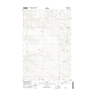
2017 Map of Harb
USGS Topo · Published 2017About this map
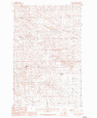
Harb sits within a landscape defined by an intricate drainage system on the border of Phillips and Valley Counties. This 2017 survey details the complex network of coulees that shape the high plains, including Snowbank Coulee and Blanche Coulee. The terrain is characterized by these intermittent watercourses, which carve deep channels such as Box Elder Coulee and its South Fork. Human presence is primarily indicated by the surveyed boundaries of the Public Land Survey System and the path of Beaver Creek Rd, which provides the primary access through these townships. For the local historian or researcher, the map offers a precise look at named landmarks like Pickhandle Coulee and Moss Coulee, showing how these natural features dictate the ranching and agricultural layout of this corner of Montana.
Find a feature on this map
20 named features on this map. Tap any name to fly to it.
Don’t see what you’re looking for? This feature index may not catch every label — zoom into the map to look around manually.
Map Details
Editions of this 2017 Harb Map
This is the sole edition of this map. No revisions or reprints were ever made.
Other maps of this area

1905 · Bowdoin
USGS Topo · 1:62,500

1954 · Glasgow
USGS Topo · 1:250,000

1957 · Glasgow
USGS Topo · 1:250,000

1958 · Glasgow
USGS Topo · 1:250,000

1984 · Pinks
USGS Topo · 1:24,000

1984 · Harb
USGS Topo · 1:24,000
1984 · Harb SW
USGS Topo · 1:24,000
1984 · Craig Reservoir
USGS Topo · 1:24,000
1984 · Flat Coulee
USGS Topo · 1:24,000
1984 · Regal Coulee
USGS Topo · 1:24,000