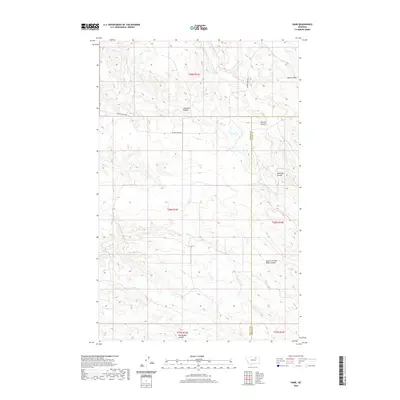
2020 Map of Harb
USGS Topo · Published 2020About this map
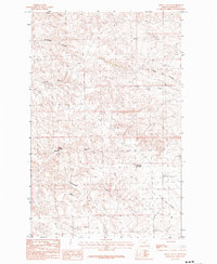
Harb sits within a landscape defined by an intricate network of drainage channels along the boundary of Phillips and Valley Counties. The area is characterized by numerous named coulees that reveal the erosional history of this high plains region, including Moss Coulee to the northeast and Snowbank Coulee near the center of the survey. The primary artery through this sparsely settled territory is Beaver Creek Rd, which tracks across the northern sections and provides access to the higher elevations between the coulee systems. To the south, the terrain becomes increasingly dissected by features like Pickhandle Coulee and the South Fork Box Elder Coulee, illustrating the transition toward the rugged breaks typical of the eastern Montana rangelands.
Find a feature on this map
14 named features on this map. Tap any name to fly to it.
Don’t see what you’re looking for? This feature index may not catch every label — zoom into the map to look around manually.
Map Details
Editions of this 2020 Harb Map
This is the sole edition of this map. No revisions or reprints were ever made.
Other maps of this area

1905 · Bowdoin
USGS Topo · 1:62,500

1954 · Glasgow
USGS Topo · 1:250,000

1957 · Glasgow
USGS Topo · 1:250,000

1958 · Glasgow
USGS Topo · 1:250,000

1984 · Pinks
USGS Topo · 1:24,000

1984 · Harb
USGS Topo · 1:24,000
1984 · Harb SW
USGS Topo · 1:24,000
1984 · Craig Reservoir
USGS Topo · 1:24,000
1984 · Flat Coulee
USGS Topo · 1:24,000
1984 · Regal Coulee
USGS Topo · 1:24,000