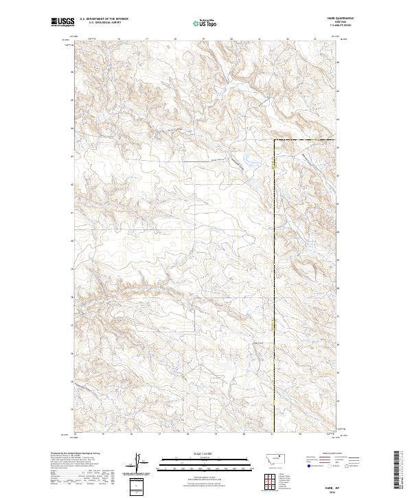
2024 Map of Harb
USGS Topo · Published 2024About this map
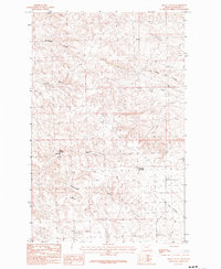
Phillips Co and Valley Co meet along a remote north-south boundary line in this high plains landscape of northern Montana. The terrain is defined by a series of drainage systems, or coulees, that carve into the prairie. The northern portion is dominated by the winding path of Moss Coulee and Snowbank Coulee, while the southern reaches are marked by Pickhandle Coulee. These features illustrate the natural erosion patterns of the region's semi-arid environment. Human presence is sparse, anchored primarily by Beaver Creek Rd, which provides the principal transit route through the townships. The map documents the persistent survey grid system, showing the intersections of several sections including t28n r33e and t28n r34e, which are essential for identifying historical land parcels and grazing rights in this part of the state.
Find a feature on this map
11 named features on this map. Tap any name to fly to it.
Don’t see what you’re looking for? This feature index may not catch every label — zoom into the map to look around manually.
Map Details
Editions of this 2024 Harb Map
This is the sole edition of this map. No revisions or reprints were ever made.
Other maps of this area

1905 · Bowdoin
USGS Topo · 1:62,500

1954 · Glasgow
USGS Topo · 1:250,000

1957 · Glasgow
USGS Topo · 1:250,000

1958 · Glasgow
USGS Topo · 1:250,000

1984 · Pinks
USGS Topo · 1:24,000

1984 · Harb
USGS Topo · 1:24,000
1984 · Harb SW
USGS Topo · 1:24,000
1984 · Craig Reservoir
USGS Topo · 1:24,000
1984 · Flat Coulee
USGS Topo · 1:24,000
1984 · Regal Coulee
USGS Topo · 1:24,000