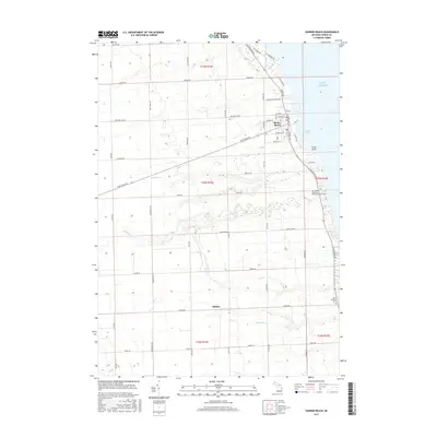
2017 Map of Harbor Beach
USGS Topo · Published 2017About this map
Harbor Beach occupies a prominent position on the shoreline of Lake Huron in this modern topographic study, where the developed streets of the town meet the agricultural stretches of Huron County. The landscape is defined by the transition from the lake's edge at Crane Point to the structured grid of rural section roads like Rapson Rd and Eppenbrock Rd. To the south, the settlement of Helena sits along Helena Rd, surrounded by the drainage networks of Rock Falls Cr and Buckley Cr. This map documents the continued importance of coastal and parish life in the Thumb region, identifying key community sites such as Our Lady of Lake Huron Roman Catholic Cems and Saint Anthony Cem. The layout of local infrastructure, from Hunter Industrial Dr to the residential lanes near Nelson St, illustrates the balance between industry and habitation in this lakeside community.
Find a feature on this map
58 named features on this map. Tap any name to fly to it.
Don’t see what you’re looking for? This feature index may not catch every label — zoom into the map to look around manually.
Map Details
Editions of this 2017 Harbor Beach Map
This is the sole edition of this map. No revisions or reprints were ever made.
Other maps of this area

1954 · Flint
USGS Topo · 1:250,000

1958 · Flint
USGS Topo · 1:250,000

1963 · Forestville
USGS Topo · 1:24,000

1963 · Ruth
USGS Topo · 1:24,000

1963 · Minden City
USGS Topo · 1:24,000

1970 · Port Hope
USGS Topo · 1:24,000

1970 · Redman
USGS Topo · 1:24,000

1970 · Harbor Beach
USGS Topo · 1:24,000

1970 · Bad Axe SE
USGS Topo · 1:24,000

1984 · Harbor Beach
USGS Topo · 1:100,000