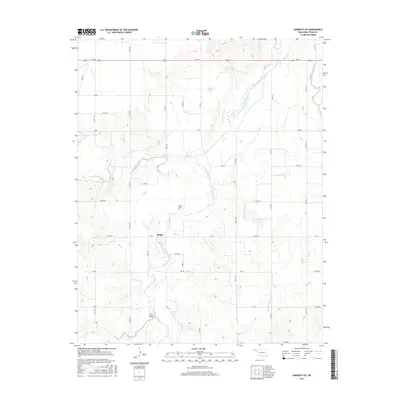
2016 Map of Hardesty SE
USGS Topo · Published 2016About this map
Palo Duro Creek meanders through the heart of this Texas County landscape, carving a wide valley across the high plains of the Oklahoma Panhandle. This area is defined by the small settlement of Range, which serves as a quiet local hub for the surrounding ranching and agricultural lands. North of the community, Range Cem offers a primary point of interest for genealogists tracing family histories in this part of the state.
Find a feature on this map
41 named features on this map. Tap any name to fly to it.
Don’t see what you’re looking for? This feature index may not catch every label — zoom into the map to look around manually.
Map Details
Editions of this 2016 Hardesty SE Map
This is the sole edition of this map. No revisions or reprints were ever made.
Other maps of this area

1954 · Perryton
USGS Topo · 1:250,000

1958 · Perryton
USGS Topo · 1:250,000

1962 · Hansford Camp
USGS Topo · 1:24,000

1968 · Hardesty
USGS Topo · 1:24,000

1968 · Optima Dam
USGS Topo · 1:24,000

1968 · Hardesty SE
USGS Topo · 1:24,000

1968 · Hardesty NE
USGS Topo · 1:24,000

1973 · Horseshoe Hill
USGS Topo · 1:24,000

1973 · Bryans Corner SW
USGS Topo · 1:24,000

1973 · Red Horse Creek
USGS Topo · 1:24,000